
Wild Atlantic Way Route: How to Plan a Comfortable, Slow Journey
The Wild Atlantic Way stretches for roughly 2,600 kilometres (1,600 miles) along Ireland’s western seaboard, running from Malin Head in County Donegal to Kinsale. It is the longest defined coastal driving route in the world. It is also one of the most misunderstood.
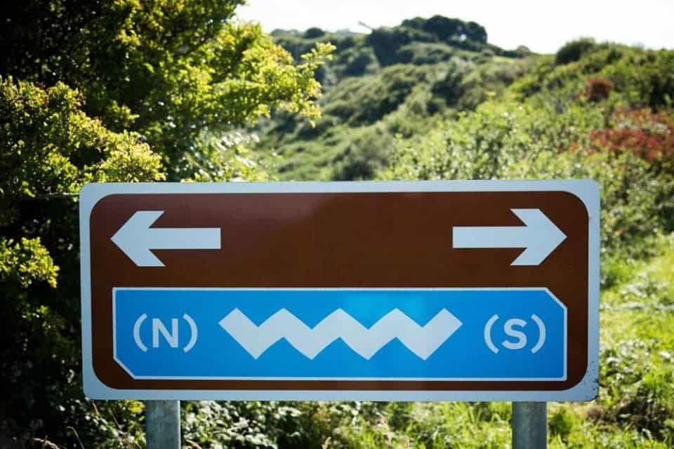
This is not a road trip you conquer. It’s one you negotiate: with weather, narrow roads, fatigue, and the Atlantic itself. I live in Ireland and have travelled the Wild Atlantic Way repeatedly, both slowly and too fast. The difference between those experiences is stark.
- Wild Atlantic Way Route: How to Plan a Comfortable, Slow Journey
- In this guide, you’ll find:
- When to travel
- Wild Atlantic Way by Region (North to South)
- County Donegal: Wild Atlantic Way Scenery at Its Most Untamed
- Sligo & Leitrim: A Manageable Wild Atlantic Way Region for Short Walks
- County Mayo: Wild Atlantic Way Landscapes That Reward Patience
- Galway & Connemara: Culture, Coast and Wilderness
- County Clare: Iconic Wild Atlantic Way Sights, Best Approached Deliberately
- County Kerry: Classic Wild Atlantic Way Scenery at a Slower Pace
- County Cork: A Gentle Conclusion to the Wild Atlantic Way
- Accessibility on the Wild Atlantic Way
- Sample itineraries
In this guide, you’ll find:
This guide is designed for travellers planning a Wild Atlantic Way road trip who want a realistic, slower-paced experience.
How long the Wild Atlantic Way really takes
Which regions suit slower, experience-led travel
Accessibility realities by county
Where to base yourself to avoid constant moving
The Wild Atlantic Way is best planned by choosing one or two regions rather than attempting the full route. While the coastal drive spans roughly 2,600 kilometres (1,600 miles), most travellers need 14–21 days to experience it comfortably. Narrow roads, weather, and frequent stops mean progress is slow. Focusing on fewer bases and allowing flexibility leads to a far more enjoyable road trip.

How to Plan a Wild Atlantic Way Route in Ireland
All observations here are based on repeated personal travel along the Wild Atlantic Way, combined with local knowledge and on-the-ground experience across seasons.
Rather than a fixed itinerary or digital tool, the best Wild Atlantic Way route planner is an approach that prioritises pacing, weather, and staying longer in fewer bases.


How long does the Wild Atlantic Way take?
Driven non-stop, the full Wild Atlantic Way would take around 32 hours. In practice, that figure is meaningless. Narrow roads, weather, frequent viewpoints, and fatigue slow progress significantly—by design.
This slower approach consistently leads to a more enjoyable and less tiring experience.
14 days allows you to experience highlights across multiple regions
21 days allows for slower travel, side roads, and fewer bases
Anything under two weeks is best limited to one or two counties only.
When to travel
Late April to May and September are ideal. These shoulder seasons offer long daylight hours, fewer tour buses, and easier accommodation availability. July and August bring festivals and energy, but also congestion in Clare, Kerry, and parts of Galway.
Getting around
Driving yourself is essential. Public transport does not adequately serve most coastal sections. Expect €600–€800 per week for a small rental car with full insurance. Choose the smallest vehicle you’re comfortable driving; many roads barely allow two cars to pass.
Wild Atlantic Way by Region (North to South)
A realistic breakdown to help you choose where to spend your time.
County Donegal: Wild Atlantic Way Scenery at Its Most Untamed
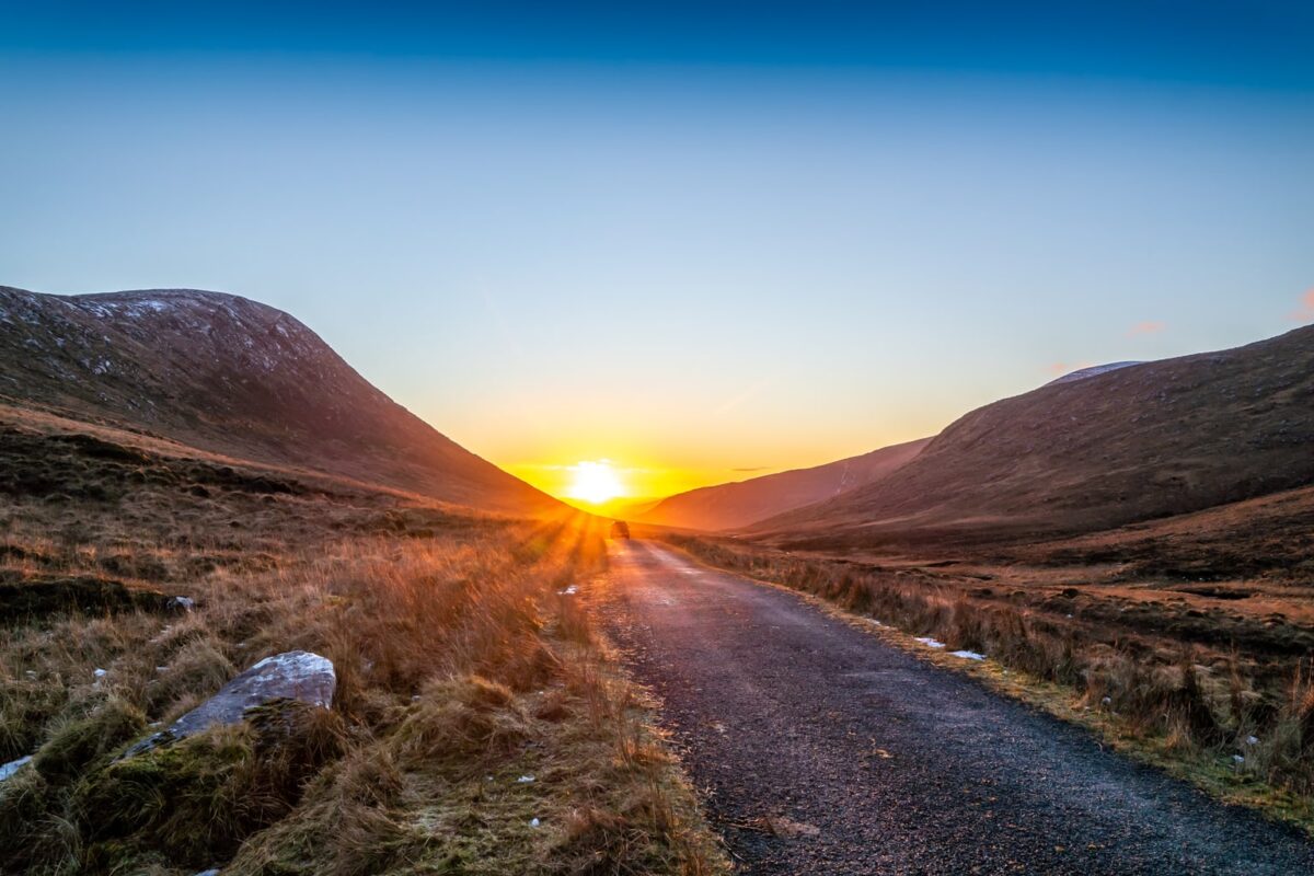
County Donegal is where the Wild Atlantic Way feels most remote and elemental. Distances are longer, roads narrower, and landscapes larger in scale than anywhere else on the route. This section suits travellers who are comfortable with rural driving and prefer to stay put for several nights rather than change accommodation frequently.
Slieve League are among the highest accessible sea cliffs in Europe and remain far quieter than the Cliffs of Moher. The drive alone is dramatic, but walking the upper clifftop paths offers the most immersive experience.

Further north, Malin Head on the Inishowen Peninsula (where Star Wars was filmed) marks Ireland’s northernmost point. On clear days, Scotland is visible across the water. The headland’s exposed geology dates back nearly two billion years, making it one of the oldest landscapes in Europe.
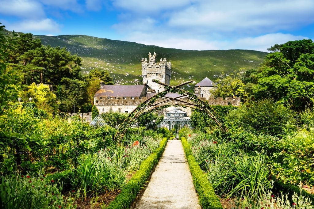
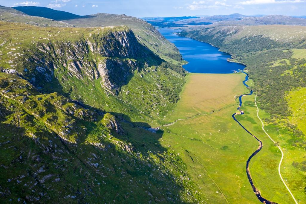
Inland, Glenveagh National Park offers a contrasting sense of space—lakes, waterfalls, a famous Castle and mountain trails through the Derryveagh Mountains. Entry is free, and the park is one of Ireland’s most underrated walking destinations.
County Donegal – Accessibility notes
Best suited for:
- Scenic drives and car-accessible viewpoints
- Park-based sites such as Glenveagh National Park
- Staying several nights in one base to reduce fatigue
More challenging aspects:
- Exposed clifftop paths at Slieve League beyond main viewing areas
- Uneven ground and strong winds at Malin Head
- Long distances between towns and services
Practical guidance: Donegal is most manageable when the focus is on viewpoints, scenic routes, and visitor centres rather than extended clifftop walking.
Where to base: Donegal Town offers flexibility without constant accommodation changes.
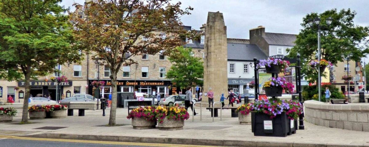
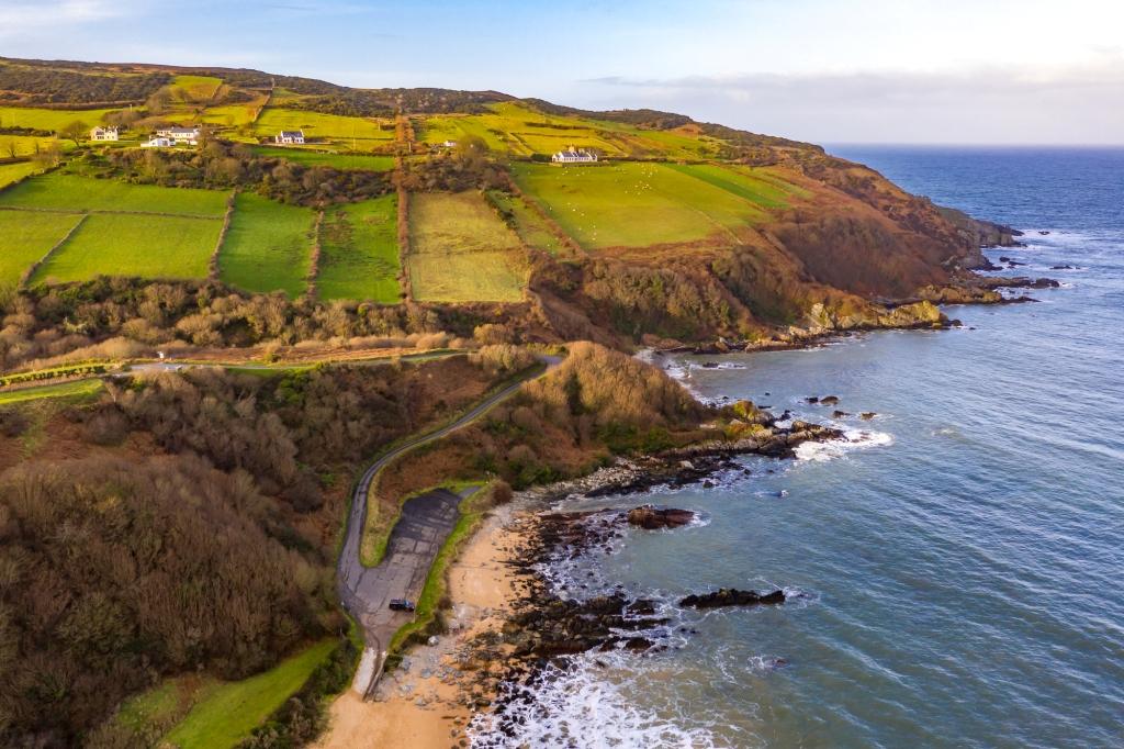
Sligo & Leitrim: A Manageable Wild Atlantic Way Region for Short Walks
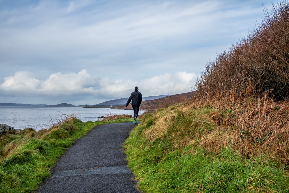
Sligo and Leitrim offer one of the most balanced Wild Atlantic Way experiences, combining dramatic scenery with relatively compact distances. This region works particularly well for travellers who enjoy short, purposeful walks paired with scenic driving, rather than long outdoor treks.
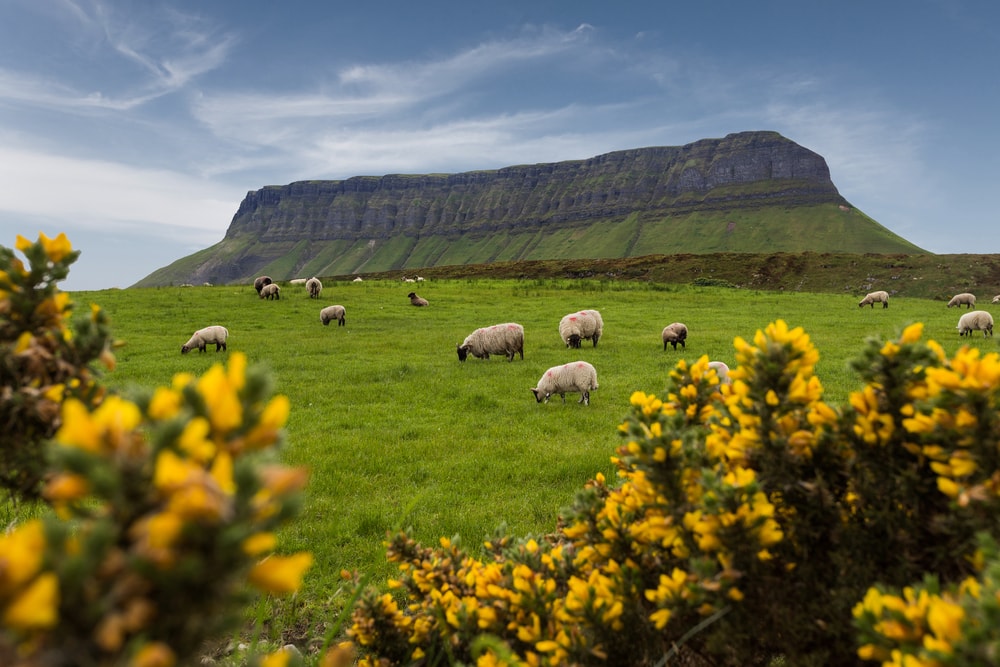
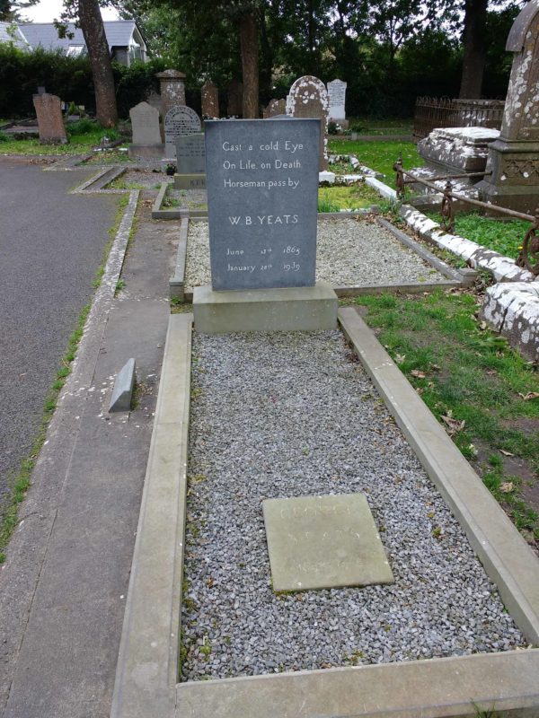
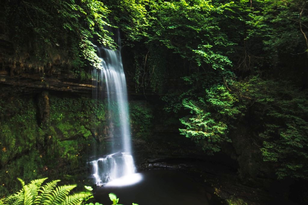
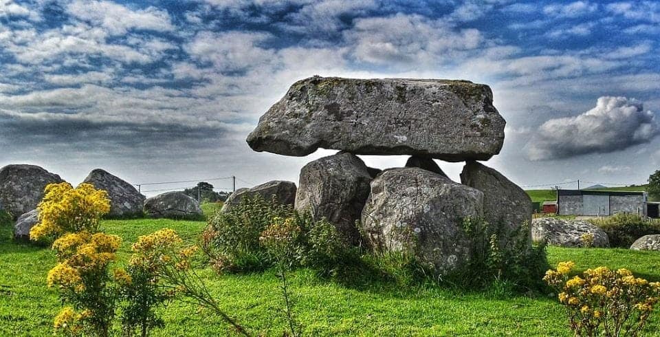
Benbulben dominates the skyline, instantly recognisable by its flat summit and sheer limestone sides. Walkers can access it from several points, including near Glencar Waterfall, immortalised in the poetry of W.B. Yeats. Nearby, Carrowmore forms the heart of one of Ireland’s most important prehistoric landscapes, with tombs dating back over 5,000 years. On the coast, Strandhill blends surf culture with wellness, while Knocknarea rises behind the village, topped by Queen Maeve’s cairn.

County Sligo & Leitrim – Accessibility notes
Best suited for:
- Compact towns such as Sligo Town and Strandhill
- Scenic drives with short, purposeful stops
- Cultural and archaeological sites with visitor centres
Partially accessible sites:
- Glencar Waterfall (short, maintained approach path; uneven ground near the falls)
- Carrowmore Megalithic Cemetery (visitor centre accessible; grassy, uneven paths to tombs)
More challenging aspects:
- Sloped or grassy terrain at prehistoric sites
- Walking routes around Benbulben and Knocknarea
Practical guidance: This region works well for travellers who prefer short walks paired with scenic driving, rather than continuous outdoor walking.
Where to base: Sligo Town for walkability and access to both coast and mountains.


County Mayo: Wild Atlantic Way Landscapes That Reward Patience
County Mayo is expansive and lightly populated, with some of the most ancient landscapes on the Wild Atlantic Way. It rewards slower travel and flexible planning, especially for visitors who want to experience heritage sites, coastal viewpoints, and islands without feeling rushed.
The Céide Fields are among the most significant archaeological sites in Europe, 5,500-year-old stone field systems preserved beneath peat. Visiting reframes how Ireland’s ancient past is understood.

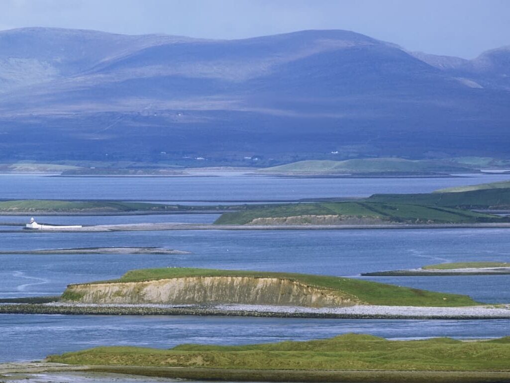
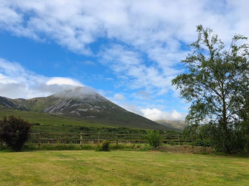
Rising from Clew Bay, Croagh Patrick remains one of Ireland’s most important pilgrimage sites. Even without climbing to the summit, the surrounding coastal views are exceptional. Offshore, Achill Island offers some of the most exposed Atlantic driving on the route, particularly along Atlantic Drive, where cliffs and beaches alternate rapidly.


County Mayo – Accessibility notes
Best suited for:
- Heritage sites with strong visitor infrastructure
- Scenic coastal viewpoints
- Flexible itineraries that allow for weather changes
Highly accessible highlights:
- Céide Fields (excellent visitor centre, indoor exhibits, minimal walking required)
- Clew Bay viewpoints around Westport
More challenging aspects:
- Croagh Patrick beyond the base area
- Variable access on Achill Island, depending on location
Practical guidance: Mayo rewards careful selection. Prioritise sites with visitor centres and car-accessible viewpoints, and approach Achill Island selectively.
Where to base: Westport combines scenery, food, and excellent road access.

Galway & Connemara: Culture, Coast and Wilderness
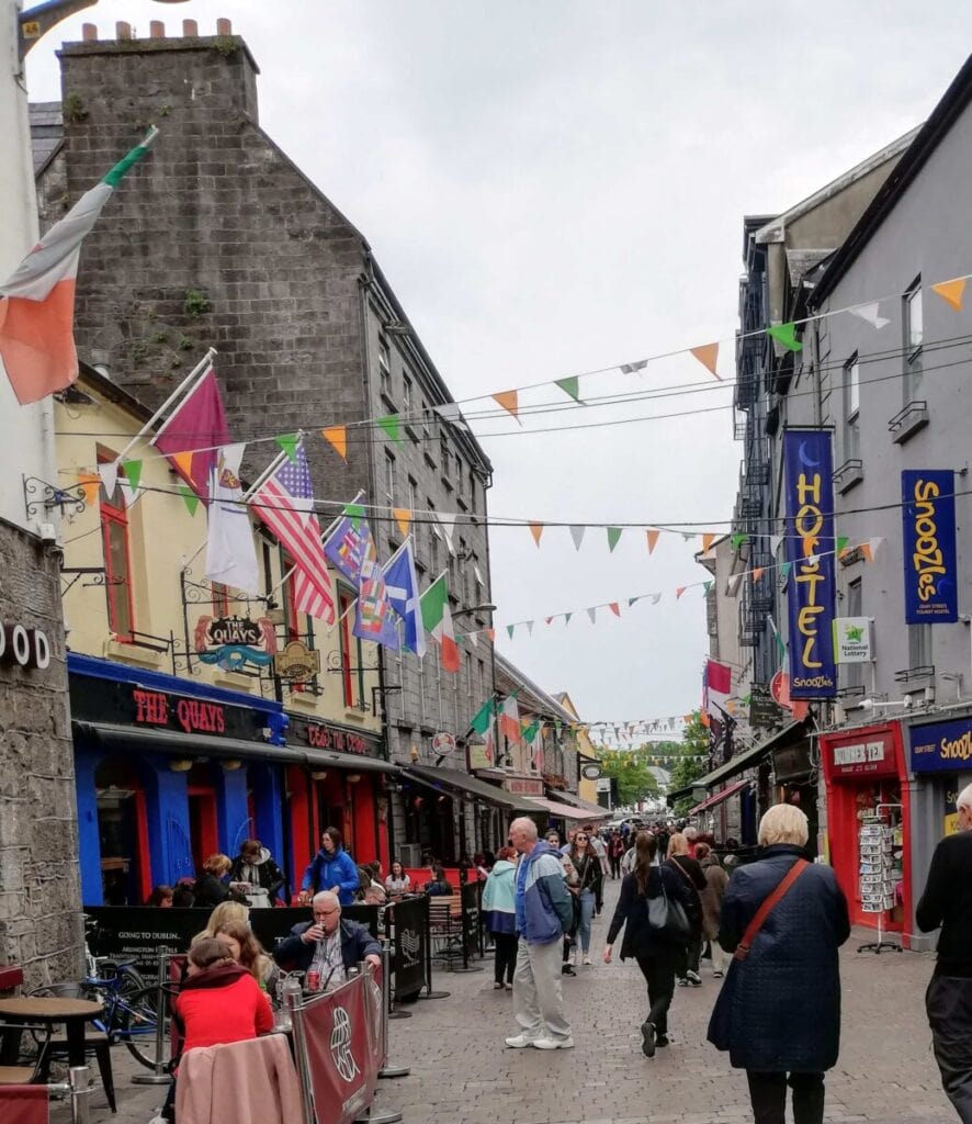
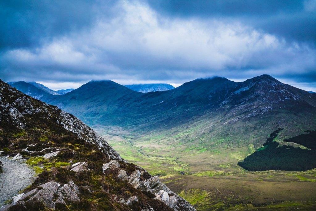
Galway and Connemara form one of the most popular sections of the Wild Atlantic Way, offering a rare mix of lively city culture and quiet Atlantic wilderness. Galway City provides an excellent, walkable base, while Connemara delivers some of the most atmospheric coastal driving on the entire route.
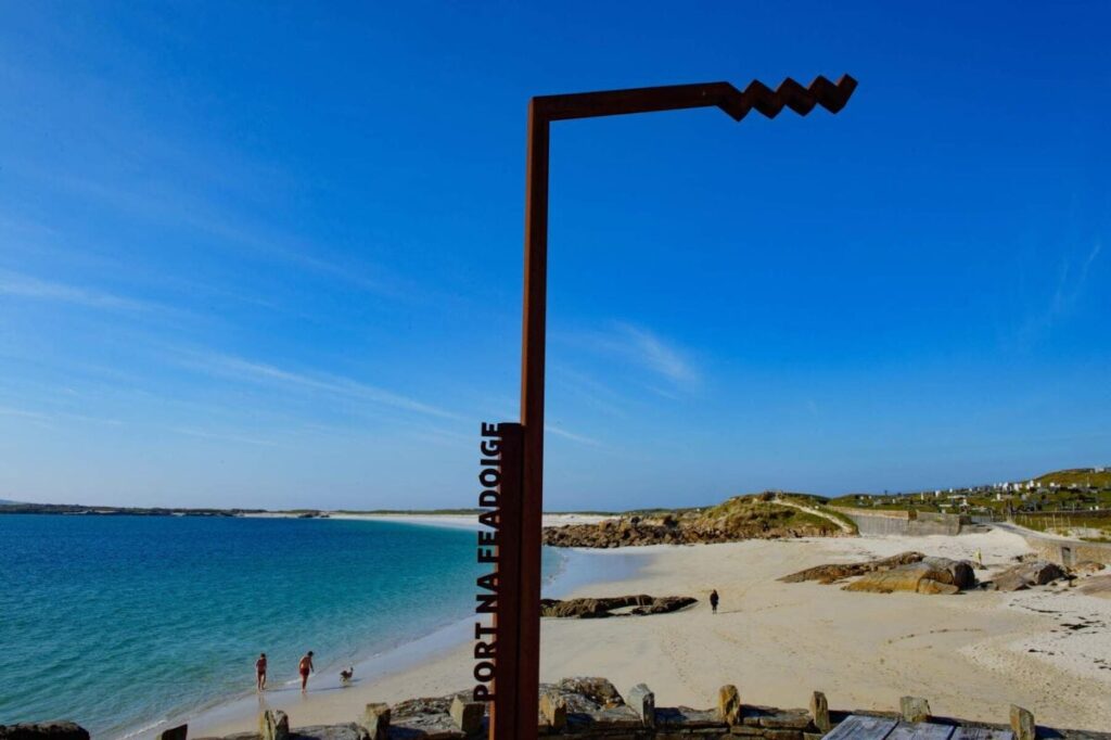

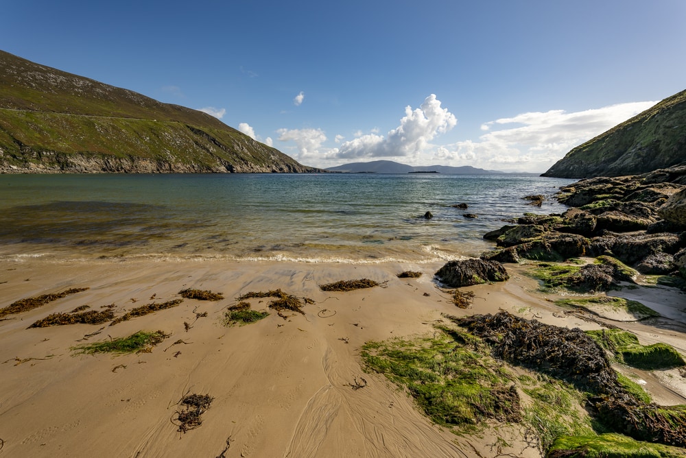
Connemara is less about individual landmarks and more about atmosphere. Bogs stretch toward the horizon, mountains rise abruptly, and roads narrow until traffic nearly disappears. The coastal drive between Galway and Clifden, via Roundstone and the Sky Road, is one of the Wild Atlantic Way’s most quietly powerful sections.
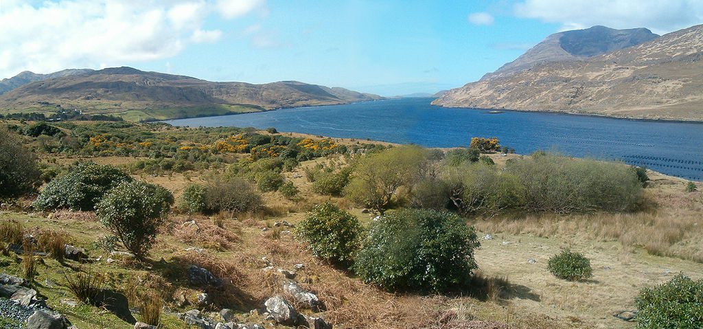
Kylemore Abbey sits beside a lake, its symmetry contrasting sharply with the surrounding wilderness. Nearby, Killary Fjord, Ireland’s only fjord, offers boat cruises where dolphins are occasionally spotted.
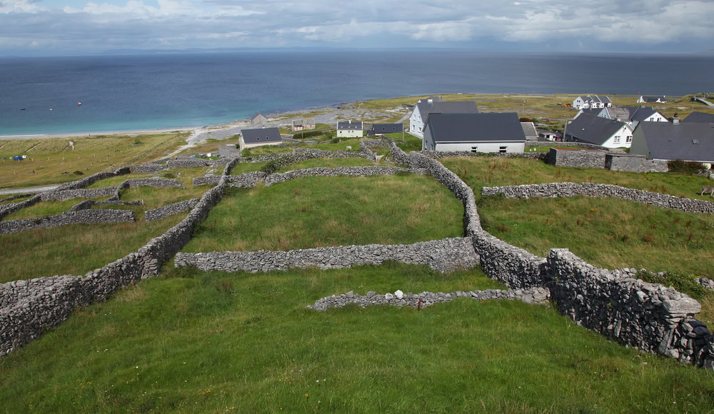
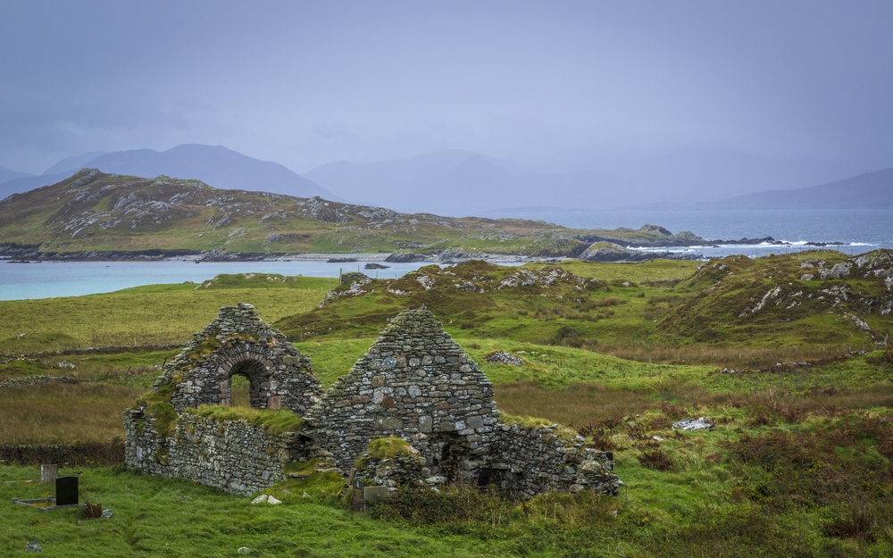
For cultural immersion, ferries run to the Aran Islands, where Irish is spoken daily and ancient forts cling to cliff edges.

Galway & Connemara – Accessibility notes
Best suited for:
- Galway City as a flat, walkable base
- Major attractions with transport support
- Boat-based experiences
Highly accessible highlights:
- Kylemore Abbey (shuttle service, paved paths, seating, accessible facilities)
- Killary Fjord cruises (confirm boarding assistance in advance)
More challenging aspects:
- Narrow rural roads and uneven surfaces in Connemara
- Spontaneous roadside stops without formal parking
Practical guidance: Use Galway City as a base where possible, and plan Connemara visits around destination sites rather than casual exploration.

County Clare: Iconic Wild Atlantic Way Sights, Best Approached Deliberately
County Clare contains some of the most recognisable images of the Wild Atlantic Way, but timing and approach matter here more than anywhere else. Visiting early, travelling slowly, and choosing alternatives to crowded sites can make the difference between an exhausting day and a memorable one.
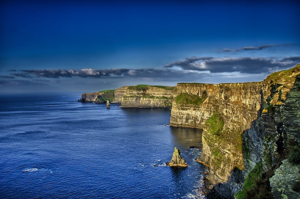
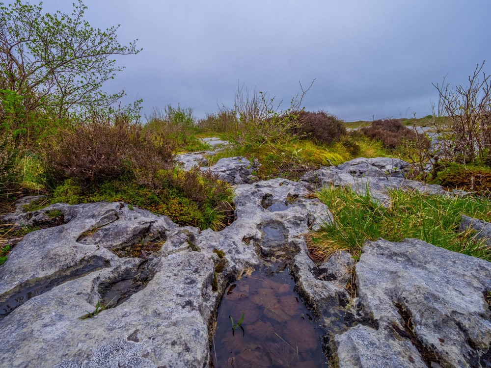
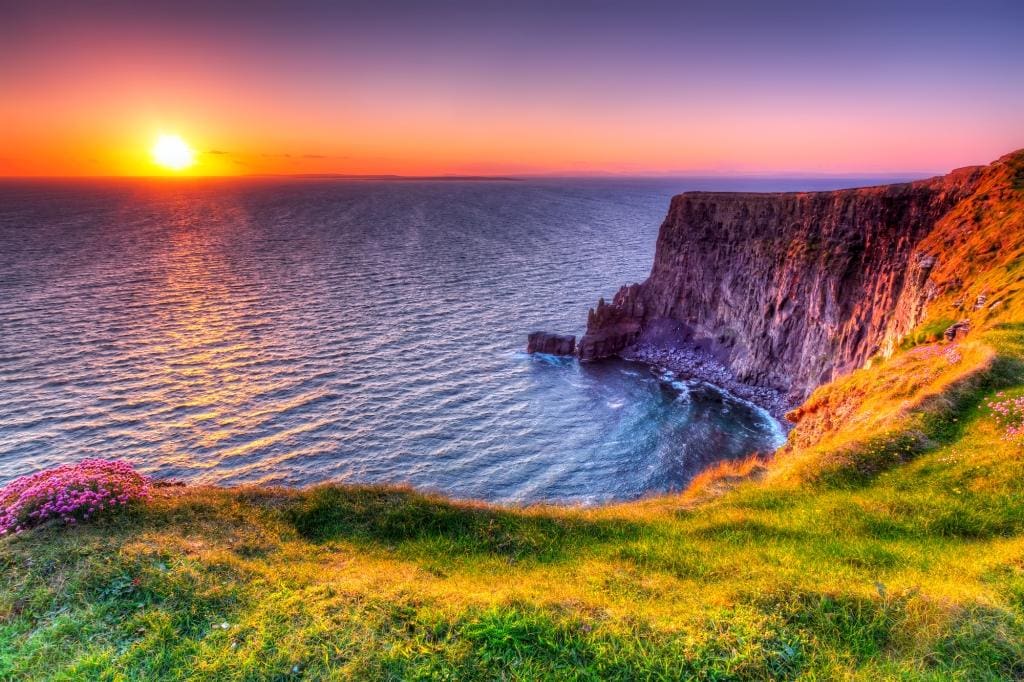
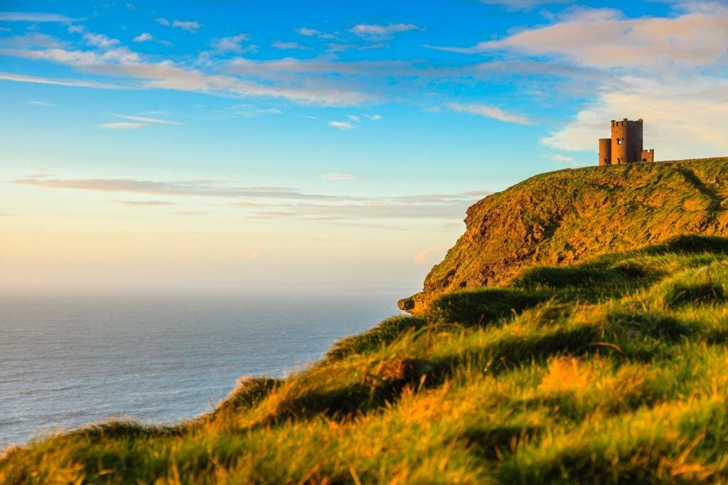
The Cliffs of Moher are best visited early morning or near sunset to avoid crowds. Just inland, The Burren appears barren but hosts rare alpine plants and prehistoric tombs hidden among limestone pavement.
Doolin remains one of Ireland’s most musical villages and serves as a gateway to ferries bound for the Aran Islands.
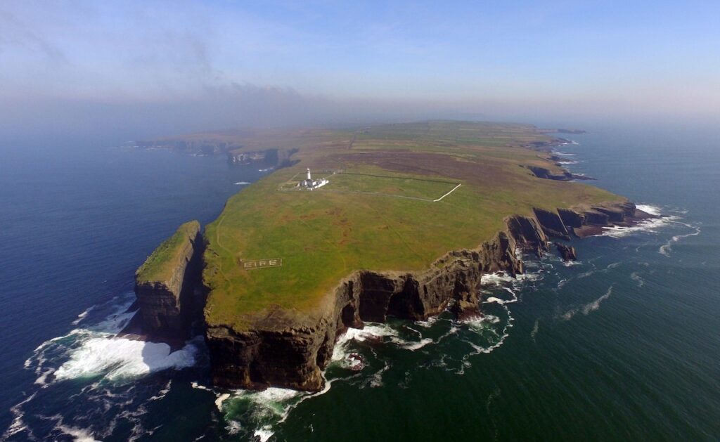
For solitude, Loop Head delivers dramatic cliffs without the infrastructure or crowds of Moher.
County Clare – Accessibility notes
Best suited for:
- Well-developed visitor attractions
- Coastal scenery experienced primarily by car
- Short, defined outings
Highly accessible highlights:
- Cliffs of Moher Visitor Centre (step-free access, level viewing platforms)
More challenging aspects:
- Exposed clifftop walking beyond main platforms
- Burren limestone pavement, which is uneven and difficult underfoot
Practical guidance: Clare offers some of the best accessibility infrastructure on the route, but benefits from deliberate planning and selective walking.

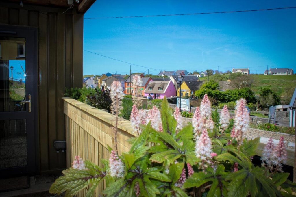
County Kerry: Classic Wild Atlantic Way Scenery at a Slower Pace
County Kerry delivers the Wild Atlantic Way’s most famous scenery, and its greatest crowds. The key to enjoying this region is pacing: fewer daily stops, early starts, and a willingness to prioritise scenic drives over physically demanding activities.
The Ring of Kerry is best driven counter-clockwise. Killarney makes an excellent base for the national park and the Gap of Dunloe.

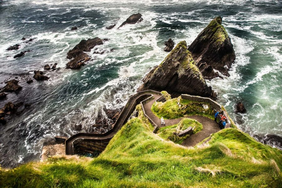
On the Dingle Peninsula, the Slea Head Drive is essential. The road hugs cliffs above the Blasket Islands, delivering some of the most cinematic coastal scenery in Ireland. For travelers seeking authentic Irish landscapes, it’s Dingle vs the Ring of Kerry each offering stunning views, but Dingle wins for those who want fewer tour buses and a bit more craic.
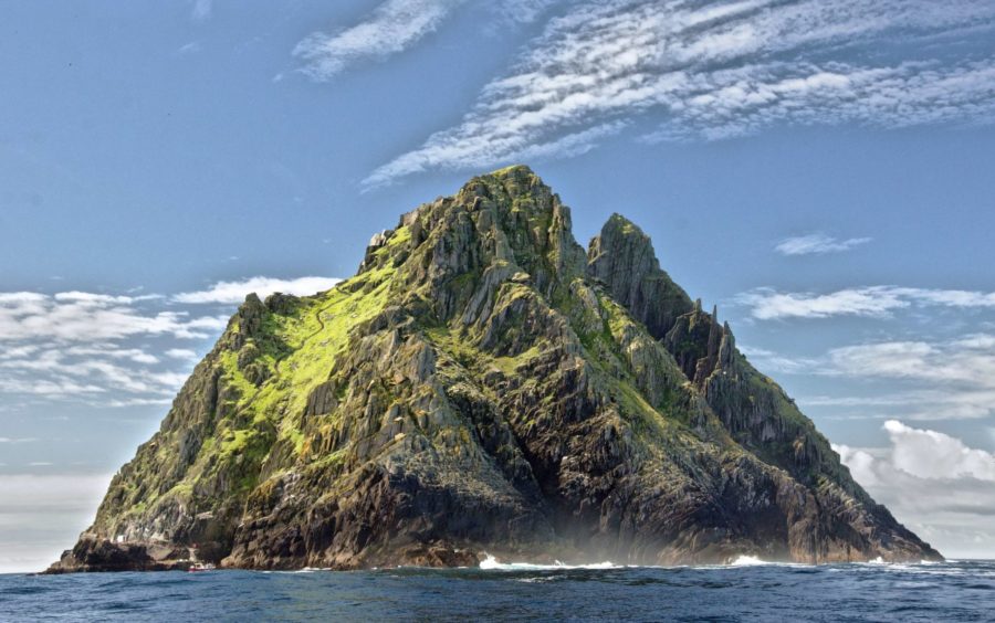
Weather permitting, boats reach Skellig Michael, where a medieval monastery clings to a rock in the Atlantic.

County Kerry – Accessibility notes
Best suited for:
- Scenic driving routes with frequent pull-ins
- Compact towns such as Killarney and Dingle
- Viewing landscapes rather than traversing them
Highly accessible experiences:
- Ring of Kerry and Slea Head Drive (from a driving perspective)
- Town-based dining, shopping, and accommodation
More challenging aspects:
Gap of Dunloe
Skellig Michael landings and steep access routes but perfect place for puffins
Practical guidance: Kerry is most enjoyable when approached slowly, with an emphasis on scenic drives and town-based exploration rather than physical activities.

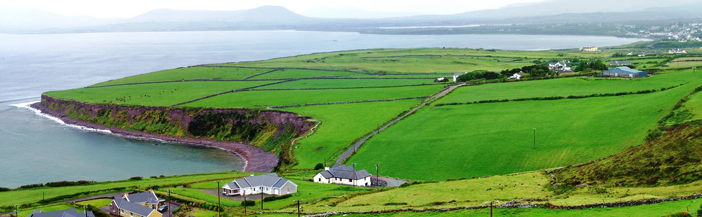
County Cork: A Gentle Conclusion to the Wild Atlantic Way
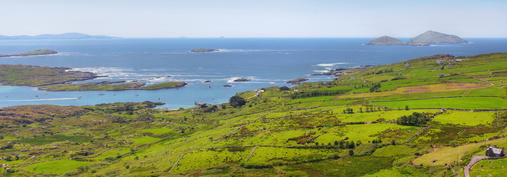
County Cork offers a softer, more settled end to the Wild Atlantic Way. Distances are shorter, towns feel more lived-in, and the emphasis shifts from endurance to enjoyment.
Kinsale is a natural endpoint: compact, food-focused, and centred on a sheltered harbour. Its waterfront is largely level and well suited to unhurried exploration, while the surrounding hills encourage a slower pace.
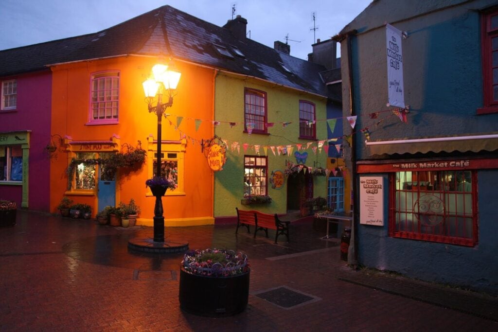
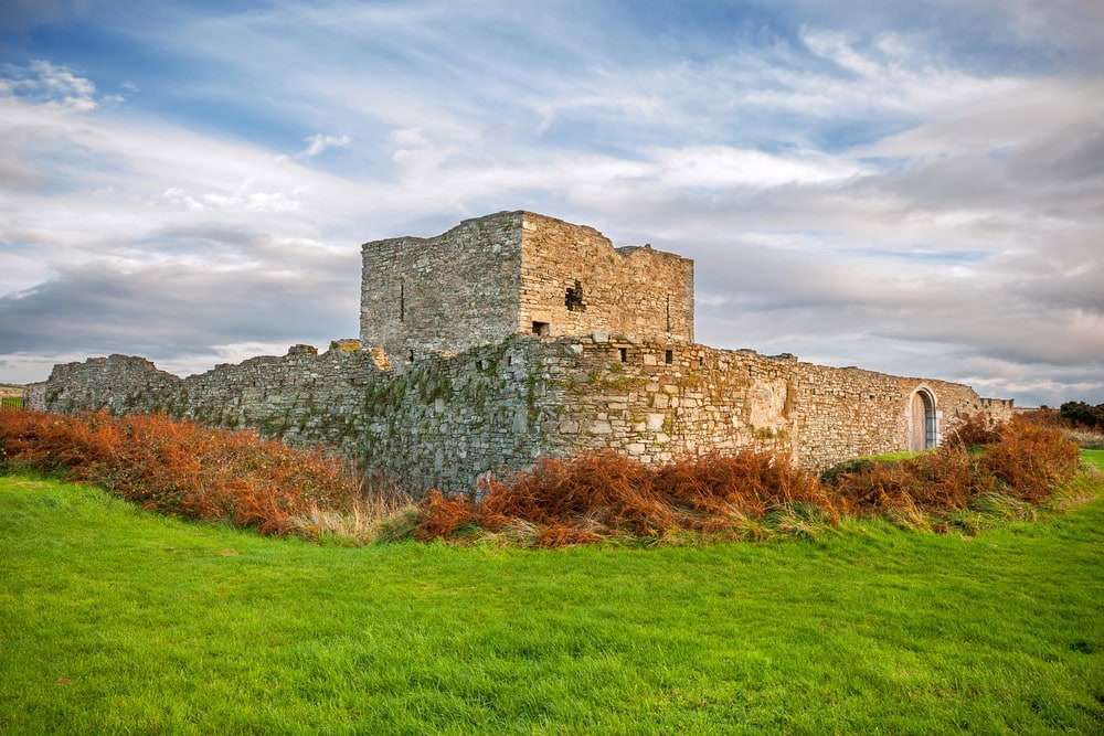
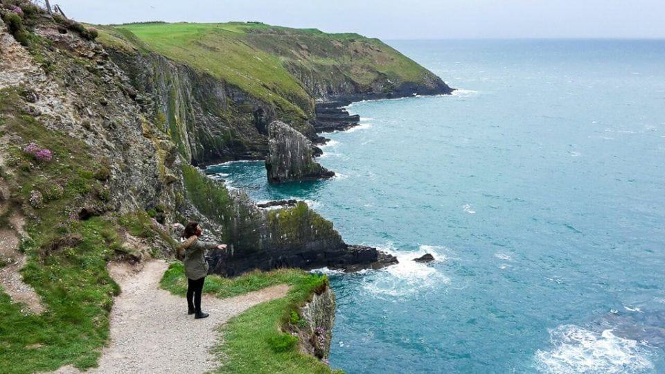
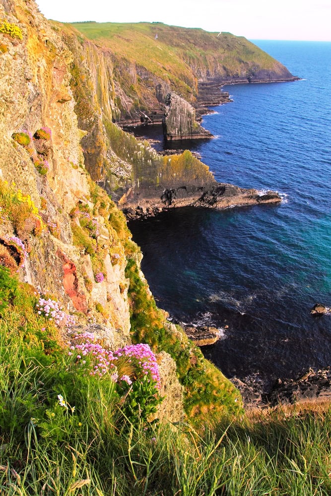
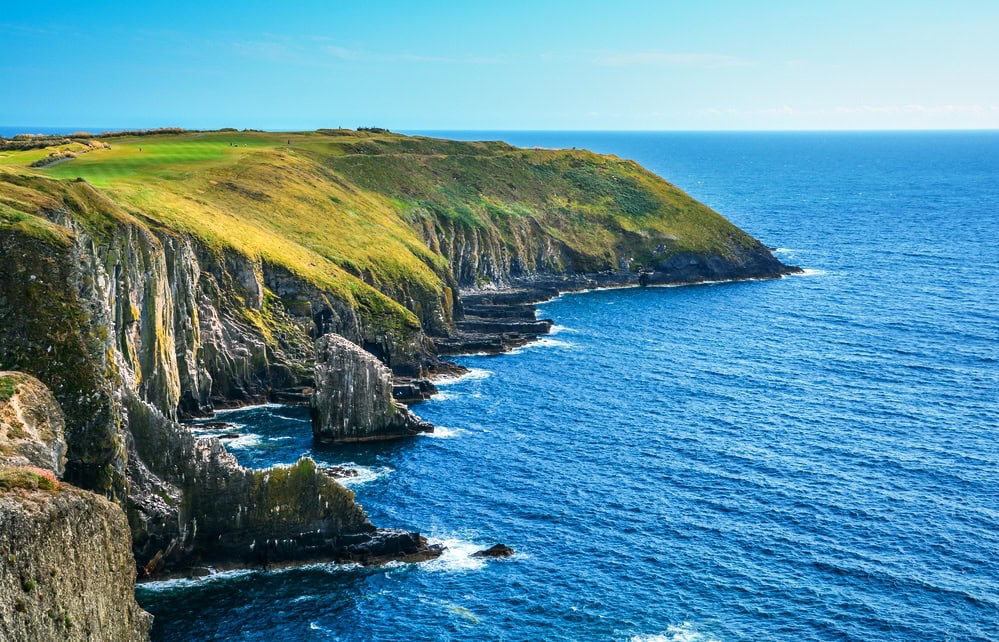
Just outside town, the Old Head of Kinsale provides one last dramatic Atlantic viewpoint, best experienced from the car with brief stops at designated pull-ins.
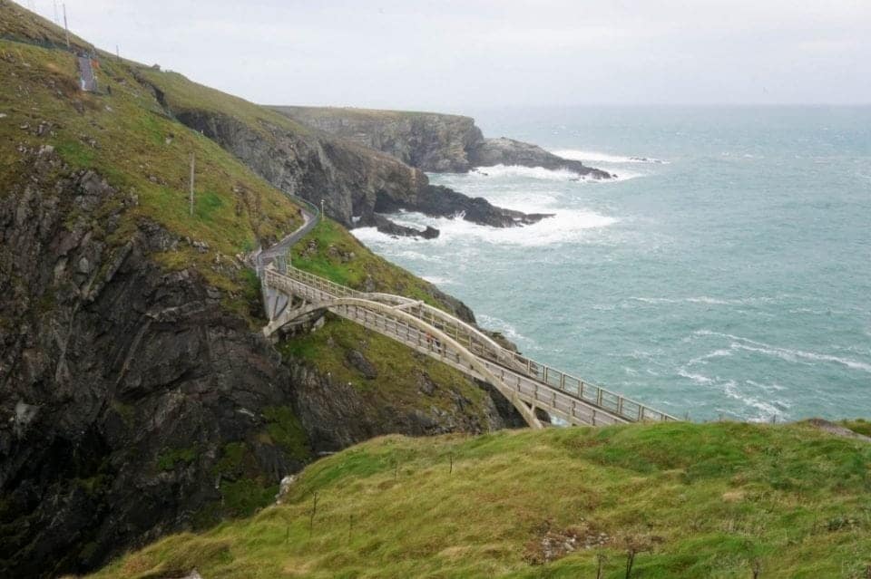
Further west, Mizen Head marks the route’s western extreme, where bridges and viewing platforms extend out over the ocean. Weather and wind play a major role here, so visits are best kept flexible.
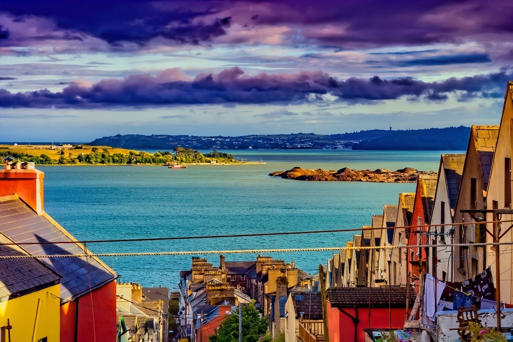
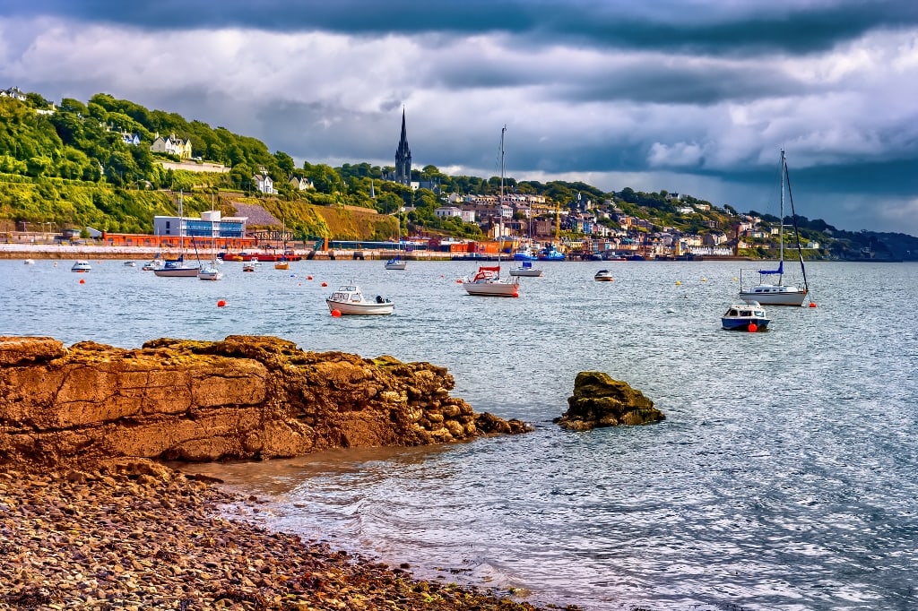
Finally, Cobh offers a reflective close. The waterfront promenade and harbour views are easily enjoyed, while the steep climb to the cathedral is best approached selectively or admired from below.
Together, these stops make Cork an ideal place to slow down, linger, and bring a Wild Atlantic Way road trip to a thoughtful close.


County Cork – Accessibility notes
Best suited for:
- Scenic coastal drives
- Food-focused towns and harbours (English Market in Cork)
- Short, intentional outings
Relatively accessible highlights:
- Kinsale harbour area (largely flat at waterfront level)
- Old Head of Kinsale viewpoints (car-based viewing)
- Cobh waterfront and Titanic-related attractions
More challenging aspects:
- Steep streets in Kinsale town centre
- Exposure, gradients, and wind at Mizen Head
Practical guidance: Cork works best when the focus is on scenic driving, food culture, and well-defined stops rather than extended walking.
Accessibility on the Wild Atlantic Way
Accessibility along the Wild Atlantic Way varies widely and can change with weather, maintenance, and seasonal staffing. Conditions on coastal paths and viewpoints are especially weather-dependent. Always check directly with visitor centres and accommodation providers before arrival, and allow extra time for rest, weather delays, and flexibility.
Sample itineraries
14-day Wild Atlantic Way itinerary
This itinerary prioritises iconic regions while keeping daily driving realistic.
Days 1–3: Donegal
Base in Donegal Town. Explore Slieve League, Glenveagh, and Malin Head.
Days 4–5: Sligo & Leitrim
Benbulben, Glencar Waterfall, Strandhill, Carrowmore.
Days 6–7: Mayo
Westport base. Céide Fields, Croagh Patrick, Achill Island.
Days 8–9: Galway & Connemara
Galway City, Connemara coastal drive, Kylemore Abbey.
Days 10–11: Clare
Doolin base. Cliffs of Moher, Burren, Loop Head.
Days 12–13: Kerry
Killarney base. Ring of Kerry or Dingle Peninsula with Slea Head.
Day 14: Cork
Kinsale, Old Head, depart.
21-day Wild Atlantic Way itinerary (slow travel)
This itinerary prioritises iconic regions while keeping daily driving realistic.
Days 1–4: Donegal
Add Fanad Head, Inishowen Peninsula, and additional hiking days.
Days 5–7: Sligo & Leitrim
Extra time for Knocknarea, coastal walks, and food exploration.
Days 8–11: Mayo
Westport + Achill Island overnight.
Days 12–15: Galway & Connemara
Include Aran Islands overnight and Killary Fjord cruise.
Days 16–18: Clare
Slow Burren exploration, Loop Head, Doolin sessions.
Days 19–20: Kerry
Dingle Peninsula, Slea Head, optional Skellig boat tour.
Day 21: Cork
Mizen Head, Kinsale, food-focused finale.


The Wild Atlantic Way is not about completion or distance covered. It is about choosing where to linger, when to move on, and how to travel in a way that respects both the landscape and your own limits. By focusing on fewer regions, allowing time for weather and rest, and approaching the route with flexibility rather than ambition, Ireland’s west coast reveals itself gradually, and generously. Travel it slowly, and the Wild Atlantic Way becomes less a route to follow than a relationship to build.
This guide is part of a wider Accessible Ireland travel series, offering realistic, first-hand advice for limited-mobility travel across Ireland.
➡️Accessible Causeway Coast Route
➡️Accessible Wild Atlantic Way
If you encounter changes (e.g., temporary lift closures or construction), please let me know so I can update this page promptly.
Start Planning Your Trip
👉 Public Transportation in Ireland
👉 Hidden Gems in Ireland – 32 Secret places to visit
👉 Answering all your travel questions about Ireland
👉What to pack for your Ireland trip
👉 Northern Ireland Public Transportation
Exploring the fascinating regions of Ireland
You know, we’ve never been to Ireland but your article makes us think we really should just take a plane and rent a car. We lived in the UK for so long and we loved driving next to the coast, it’s something really cool about it. Wales looks stunning.
I feel intoxicated by scenery, and wishing for months of time (and funds) to explore the whole west coast in full. But aside from being greedy to see everything – and what a beautiful everything there is to see – I can pick out segments of the drive to enjoy in bite sized chunks. I had no idea the Yeats memorial was there, and beautiful to see “He wishes for the cloths of heaven” laid out like that. Whoever did the graphic for the Way needs a word of congratulation too; it’s such a vivid icon to spot on signs.
Wow – so many places to see! We’ve never been to Ireland before so I’m going to pin this for when we do go! Thanks for sharing all your fantastic photos as well.
Aww man this post is making me miss Ireland so much! We were able to drive some of the WAW during our seven day road trip, but it was not enough time. We really wanted to see the slieve cliffs and Glencar Waterfall. But we managed to hit a lot of stops you mentioned and stayed at Lough Eske Castle!