
Exploring the Burren: Ireland’s Lunar Landscape
Quick answer: The Burren is a 250–560 km² limestone karst landscape in North County Clare, Ireland, famous for its bare, glacier-scoured rock pavements, rare Arctic-alpine wildflowers, and one of Europe’s densest concentrations of Neolithic and early Christian sites. It’s part of the Burren and Cliffs of Moher UNESCO Global Geopark, designated in 2011, and sits directly alongside the Cliffs of Moher.
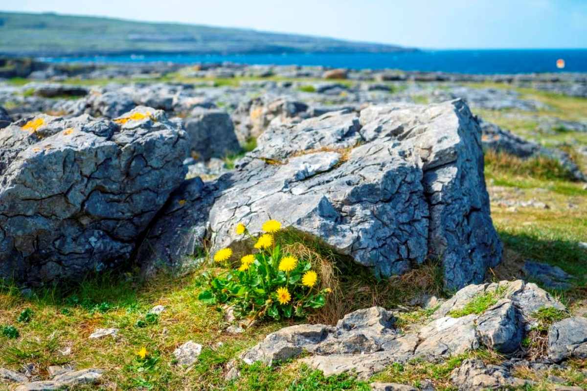
‘ve driven through the Burren more times than I can count over the years it’s one of those landscapes in Ireland I never get tired of, and I’ve brought friends and family through it on more than one trip, always stopping to see a little more each time. The Burren in County Clare is full of the myths and legends of Ireland, and together with the Cliffs of Moher it was awarded UNESCO Global Geopark status in 2011. Everyone needs to see the magic hidden inside this jaw-dropping landscape at least once.
- Exploring the Burren: Ireland's Lunar Landscape
- Fast Facts
- The Cliffs of Moher Geopark and the Burren
- What is Burren National Park, and how was it formed?
- Visiting the Burren
- Slieve Carran Nature Reserve
- Official trails inside Burren National Park
- Other walks in the wider Burren region
- Burren Farm Experience
- Neolithic and Early Christian Archaeology
- The Hidden Medieval Village: Oughtmama and Corcomroe Abbey
- The Cliffs of Moher UNESCO World Heritage
- Lisdoonvarna & the Matchmaking Festival
- Doolin
- The Aran Islands
- Burren Food Trail
- Traditions & Culture of the Burren
- Ghost Stories & Irish Myths of the Burren
- The Burren and the Great Famine
- Where to Stay in the Burren
- Visiting the Burren FAQ
- Driving in Ireland articles
Fast Facts
| Where | North County Clare, extending into south County Galway, on the Wild Atlantic Way |
| Size | Roughly 250–560 km² depending on definition; Burren National Park itself is about 1,500 hectares (3,700 acres) |
| Status | Burren and Cliffs of Moher UNESCO Global Geopark since 2011 |
| Name meaning | From the Irish Boireann, “great rock” |
| Entry fee | Burren National Park itself: free, no entrance fee. The Burren Centre (Kilfenora) and Aillwee Cave are separate paid attractions |
| Nearest base towns | Ballyvaughan, Lisdoonvarna, Kilfenora, Tubber, Corofin, Doolin, Kinvara |
| Getting there | Self-drive is easiest; nearest airports are Shannon (about 1hr) and Galway |
| Best for | Geology, Neolithic archaeology, wildflowers (late April–June), the Burren Way, the food trail |
The Burren covers between 250 square kilometres (97 sq mi) and 560 square kilometres (220 sq mi), depending on where you draw the line. The main area circles the pretty villages of Lisdoonvarna, Ballyvaughan, Kilfenora, Tubber, Corofin, and down into Kinvara in Galway. If you’re building a longer trip around this stop, my Starting in Shannon? Your Gateway to Ireland’s Southwest guide has a full 7-day Clare, Galway, and Kerry route.
The Cliffs of Moher Geopark and the Burren
Part of the Burren forms Burren National Park, the smallest of Ireland’s six national parks. The full area of the Burren is encompassed by the Burren and Cliffs of Moher Geopark, Ireland’s newest UNESCO Geopark, designated in 2011.
What is Burren National Park, and how was it formed?
Burren National Park sits on the southeastern side of the Burren, in north Co. Clare, near the village of Corofin. The Burren is a karst landscape on Ireland’s Wild Atlantic Way, meaning it’s an area of land made up of limestone laid down roughly 350 million years ago under a tropical sea.
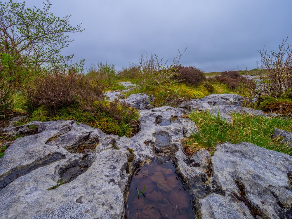
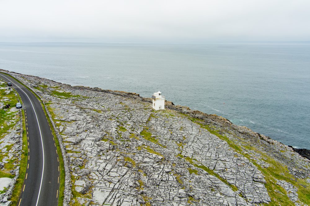
Limestone is a soft rock that dissolves in water in Ireland’s case, rain and the Atlantic Ocean. A karst landscape wears away from the top of the rock or from underneath, as in Mexico’s Yucatán Peninsula, where limestone dissolves into cenotes and underground lakes. In the Burren, the karst has worn away into flat, moon-like rock pavements, cut through with cracks called grikes, riddled with caves and underground streams.
The result is a lesson in geology: dolines and poljes (enclosed depressions), deep gorges, dry valleys, and disappearing lakes known as turloughs, all running alongside hundreds of kilometres of caves, drumlins, and moraines.
Burren National Park itself has no entrance fee and free visitor parking. It doesn’t have an on-site visitor centre its Information Point is in the Clare Heritage Centre on Church Street, Corofin, with a free shuttle bus to the Gortlecka Cross trailhead in summer. That’s a different place entirely from the Burren Centre, a separate, privately-run paid attraction several kilometres away in Kilfenora (more on that below) worth knowing before you plan your day, since the two get mixed up constantly online. As of 2026, the National Parks and Wildlife Service has a planning application (Clare County Council ref. 23419) in for a purpose-built Burren National Park Visitor Centre at Riverview, Church Street, Corofin, so that may change.
Visiting the Burren
The Burren Eco Tourism Network
The Burren Ecotourism Network has more than 70 members, including well-known attractions like the Cliffs of Moher and Aillwee Cave. Over the past decade the project has been recognised nationally and internationally for its pioneering approach to sustainable tourism it won Lonely Planet’s Best in Travel for Community Tourism in 2021.
The Burren Centre, Ireland’s first Interpretative Centre, is the essential introduction to this world-famous UNESCO Geopark and to thousands of years of history reflected in ancient tombs, forts, castles, and distinctive farming practices. It’s in the heart of the historic village of Kilfenora the ‘City of the Crosses’ next to the ancient Kilfenora Cathedral. (Note: this is the Burren Centre, a separate paid attraction in Kilfenora not the free Burren National Park itself.)
The Great Stalactite Doolin Cave
The Burren is home to NW Europe’s longest free-hanging stalactite the 7.3-metre (23-foot) Great Stalactite in Doolin Cave. It was discovered in 1952 by cavers Brian Varley and J.M. Dickenson, and 2026 marks 20 years since Doolin Cave opened to the public in 2006. Current admission is €18.50 for adults, €8.50 for children aged 4–16, and €16.50 for seniors and students (check doolincave.ie for current times, since hours shift seasonally).

The Aillwee Burren Experience
One of the oldest caves in Ireland, Aillwee Cave is the best known of the Burren’s many cave systems the name comes from the Irish Aill Bhuí, “yellow cliff.” Glencurran Cave near the village of Carran was recently excavated and turned up many finds from the Bronze Age onwards. Aillwee is in the heart of the Burren, about 40 minutes from Galway, and 2026 marks 50 years since it first opened to the public in 1976.
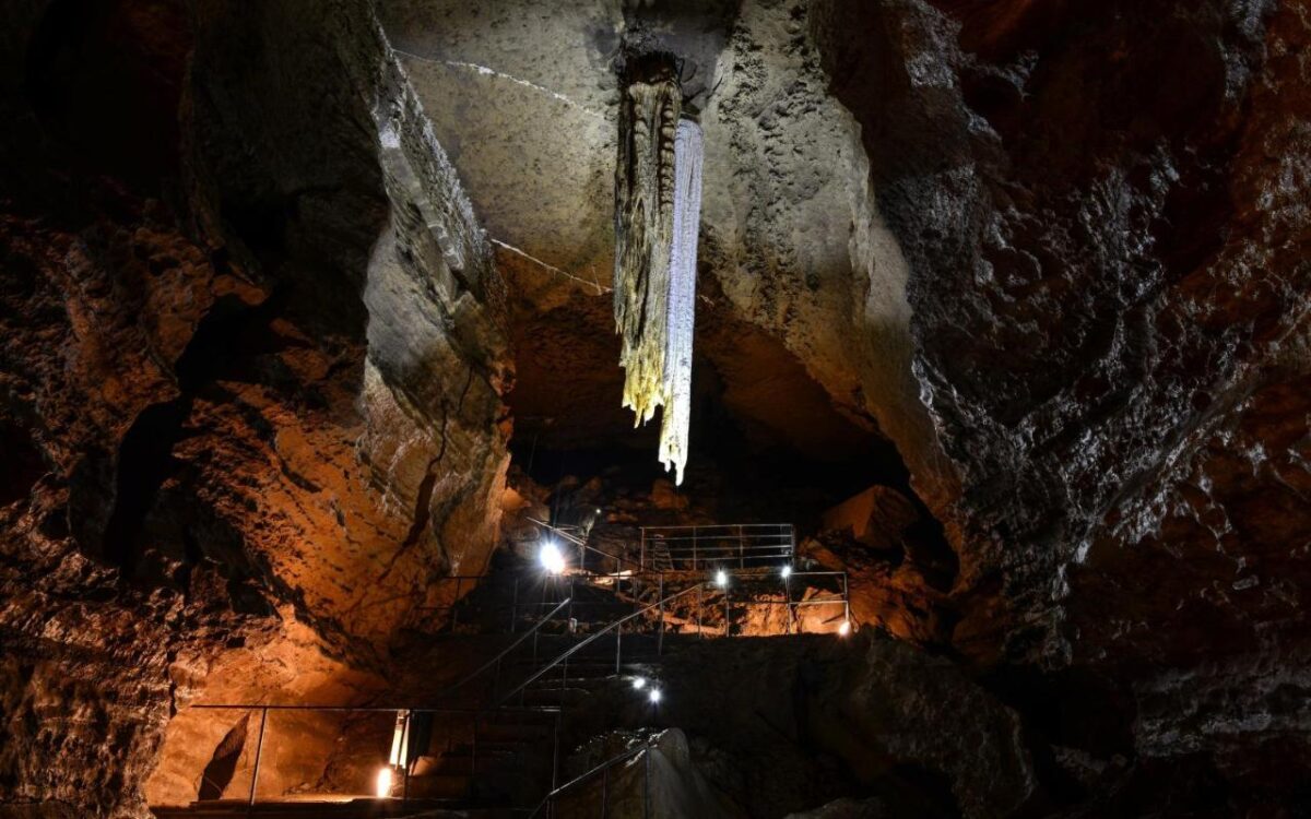
A guided tour of the caves takes around 30–45 minutes and takes in chasms, a roaring waterfall, a silent frozen one, and stalactites, stalagmites, and even some extinct brown bear bones. Admission varies by combination (cave-only, Birds of Prey, or the joint ticket) expect somewhere in the €15–€26 adult range; check aillweeburrenexperience.ie for current pricing, since it changes with seasonal promotions.
Slieve Carran Nature Reserve
Slieve Carran Nature Reserve is a hidden gem nestled within the Burren’s captivating landscape. This pristine nature trail reserve is a haven for nature enthusiasts, offering a diverse array of flora, fauna, and geological wonders its rich biodiversity includes rare and protected species. From the elusive pine marten and the peregrine falcon to delicate orchids and colourful butterflies, the reserve teems with life. The ethereal silence adds to the mystique, letting visitors connect with nature on a profound level, whether you’re a birder, a botany enthusiast, or simply seeking solace.
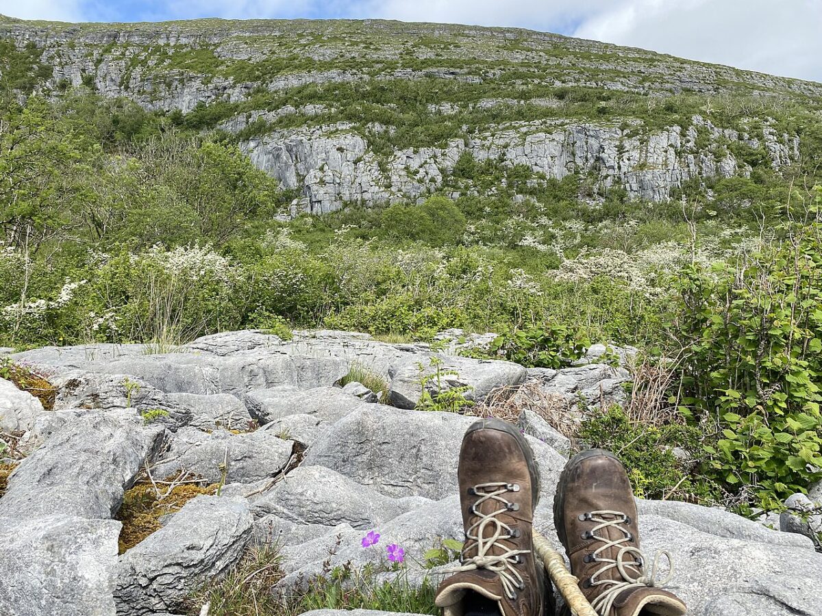
Official trails inside Burren National Park
These two looped walks are the trails actually within the park boundary:
Mullach Mór (Mullaghmore) Loop
The Mullaghmore Loop is a captivating trail through a tapestry of ancient geological formations, lush flora, and panoramic vistas limestone pavements, karst terrain, and dramatic views over the Atlantic. It’s a moderate to challenging hike with undulating pathways and occasional steep ascents, past vibrant wildflowers, moss-covered rocks, and plant species adapted to the Burren’s peculiar environment. From the summit of Mullaghmore Mountain, a breathtaking panorama unfolds over the whole region.

Kinallia Walk
The Kinallia Walk is the park’s other official looped trail, taking in more of the karst pavement and turlough scenery that defines the park itself, away from the busier Mullaghmore route.
Other walks in the wider Burren region
These walks are all in the wider Burren region well worth doing, but outside the National Park boundary itself:
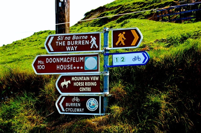
The Burren Way
The Burren Way is a 114km (some sources say 123km, depending on the trailhead used) walking route taking in the best of the wider Burren, from the coast at Doolin to wild-flower-decorated limestone terraces, from Neolithic remains to the rich heritage of early Christian churches and sites. It links Doolin, Corofin, Carron, Ballyvaughan, Lisdoonvarna, Tubber, and Lahinch. The long views from the top of Mullaghmore, one of the easternmost Burren hills, are particularly spectacular in good weather.
Blackhead Loop
The Blackhead Loop crosses through the Gleninagh Pass and into Feenagh Valley along the shoulder of Cappanwalla mountain a 15.2-mile loop with some of the finest views of the Burren and the Atlantic on the Wild Atlantic Way. The Murroghtoohy Viewpoint, on the coast road between Ballyvaughan and Fanore, is a stunning spot for photos, and you may catch some wild goats on camera too.
Abbey Hill
Abbey Hill, the northernmost summit in West Clare, ranks as the 1,177th highest peak in Ireland according to MountainViews.ie. Modest in height, it’s a popular hiking spot with a refreshing nature escape and stunning views over Galway Bay and the Burren’s unique landscapes.
Turlough Mountain Cairns
Turlough Mountain holds several large stone mounds, like those at Newgrange, believed to be Neolithic. These cairns are found on Sliabhcarran, Turlough Mountain, and Blackhead on the Burren’s northern edge. The large cairn on Turlough Mountain is surrounded by around 160 round hut foundations, similar to those in Sligo, and not far east of the huts is a huge circular hillfort that may also date from the Neolithic era.

Burren Farm Experience
Looking at the Burren’s lunar landscape, you’d be hard-pressed to understand how anyone farms here but farm they do. The wide valleys and uplands hide fertile grasslands, perfect grazing for beef and lamb. Cathal O’Rourke, a fifth-generation farmer, and his wife Bronagh, a regional eco-tour guide, run a working family farm in the Burren where you can learn about transhumance the ancient, seasonal movement of livestock between mountain and lowland pastures that helps conserve and protect the landscape.
Neolithic and Early Christian Archaeology
Poulnabrone Dolmen
One of the most well-known of Ireland’s stone cairns, Poulnabrone which means “hole of sorrow” is one of the dolmens that’s been excavated, revealing the remains of at least 33 people, used as a burial and ritual site over roughly 600 years.

Poulawack Cairn
Poulawack sits to the north of Poulnabrone and was excavated in 1934. The burials at Poulawack date back over 2,000 years.

Cahercumeen Stone Fort
Cahercumeen (Cahercommaun), a Bronze or Iron Age stone fort, sits near the centre of the Burren. Surrounding the fort are hut sites and a medieval field system, and it’s believed the site was lived in until the 16th century.

Church Ruins & High Crosses
One of three ruined churches stands at Oughtmama, on the edge of the Burren (more on that below). There are several early Christian sites in the area too, including the Celtic high crosses at Kilfenora, and you’ll often pass a holy well or a ruined church walking the Burren.
Saint Tola’s Cross at Dysert O’Dea
Be careful attempting to see the Saint Tola cross close up there’s often a bull in the field. The easiest way to visit is from Dysert O’Dea Castle. The east face of the cross is dominated by two high-relief figures: a depiction of the crucifixion, and a Bishop believed to represent the founder of the monastery of St. Tola. The carvings also depict the founding of the Church, Daniel in the Lion’s Den, and floral designs with an Adam and Eve carving.

Dysert O’Dea Castle and Archaeology Centre
The Clare Archaeology Centre is located at the castle, surrounded by 25 original archaeological field monuments including St. Tola’s Cross. There’s a gift shop, and the team here runs genuinely interesting day tours. The authentically restored 15th-century Dysert O’Dea Castle was originally the stronghold of the O’Dea clan.

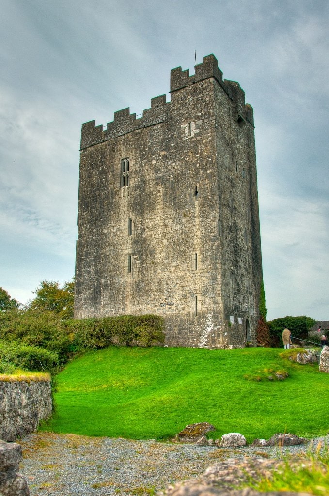
Dysert O’Dea Church
The church, standing on the site of an early Christian monastery, dates mainly from the 12th century. Its most famous feature is the Romanesque Doorway, and near the church’s northwestern corner stand the remains of a Round Tower.
The Hidden Medieval Village: Oughtmama and Corcomroe Abbey
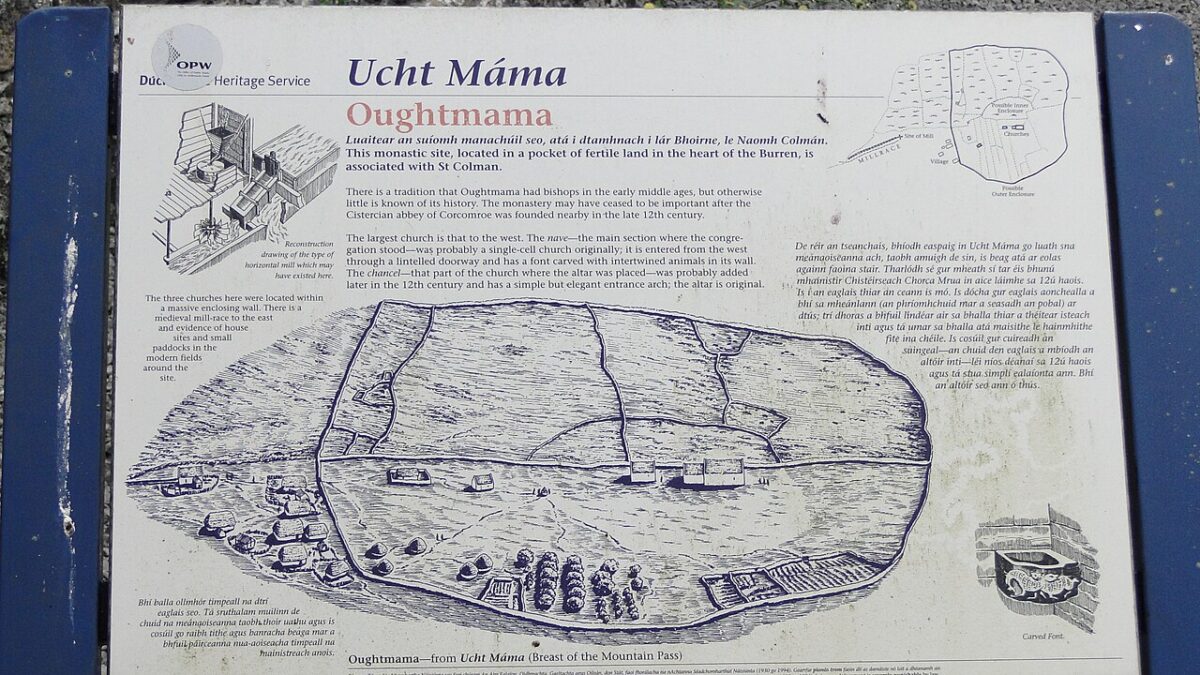
This is one I always point people to, because almost nobody stumbles on it by accident. Oughtmama is a quiet, easy-to-miss valley holding the ruins of three early-medieval churches, all traditionally linked to a St. Colman (most likely Colman MacDuagh, said to have lived nearby before founding Kilmacduagh) tucked into a fold of the hills a mile from Corcomroe, with no crowd, no signage fanfare, just the ruins standing in a line in the grass and a holy well close by.
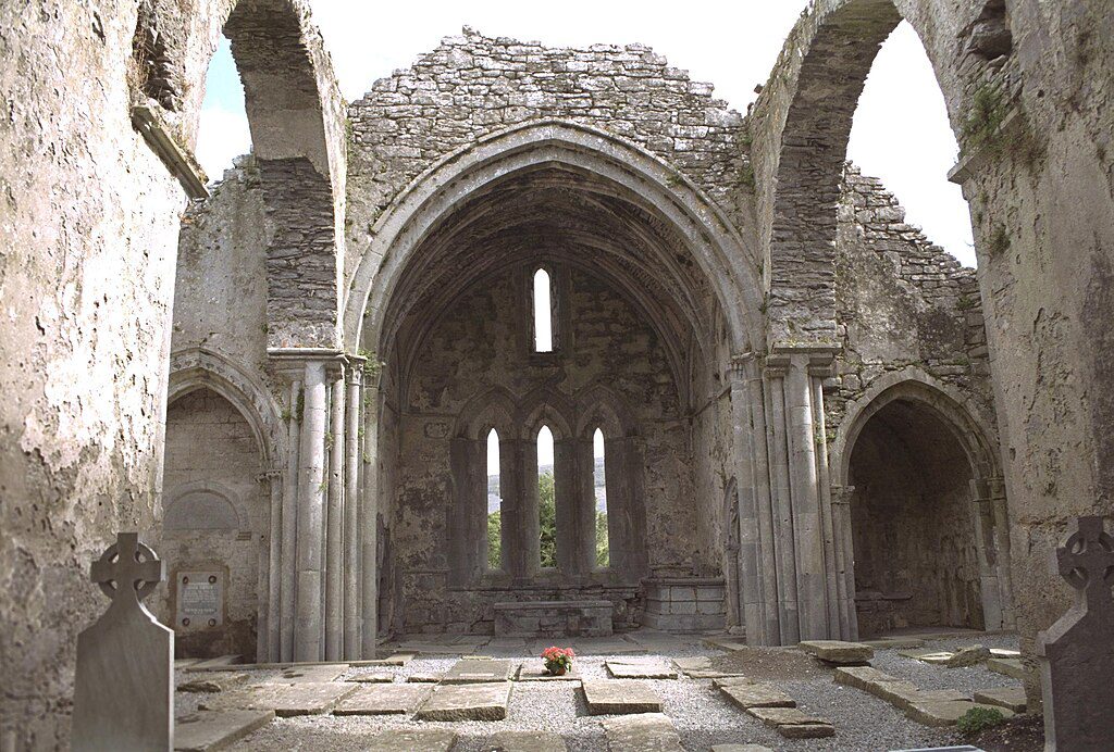
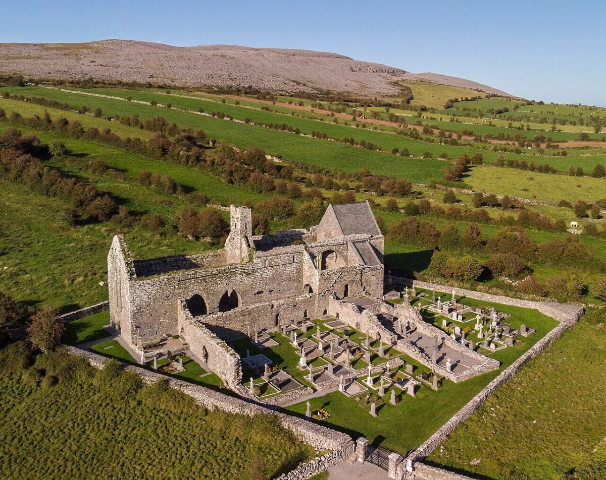
Corcomroe Abbey, a mile away, is the much more substantial and atmospheric of the two: a Cistercian abbey founded around 1194 by Donal Mór Ua Briain, King of Thomond, known in Latin as Sancta Maria de Petra Fertilis “St. Mary of the Fertile Rock,” a nod to this one green, productive valley amid all that bare stone. Inside, finely carved capitals survive at the east end, along with the tomb effigy of Conor O’Brien, King of Thomond, killed in battle nearby in 1268 and buried there by the monks. Stopping here after the high crosses and cairns is one of my favourite quiet detours in the whole Burren.
The Cliffs of Moher UNESCO World Heritage
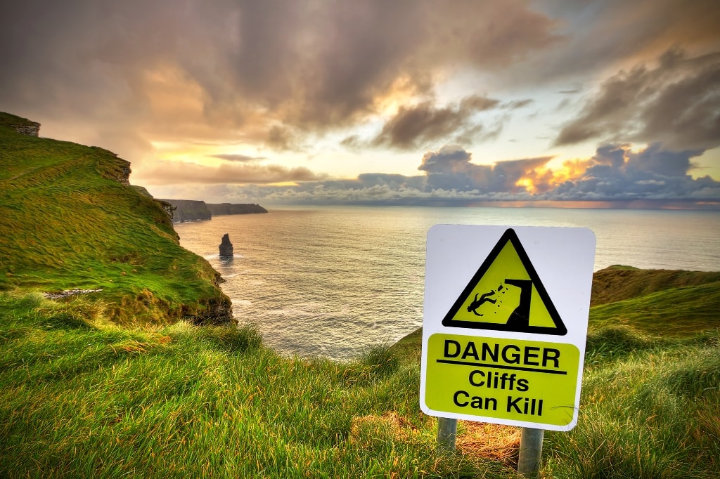
I’ve been to the Cliffs myself, and they earn every bit of their reputation. The Cliffs of Moher are located in County Clare on the southwestern coast of Ireland, on the Wild Atlantic Way. They run for 14 kilometres along the edge of the Burren region, with Doolin and Liscannor the closest towns.

Lisdoonvarna & the Matchmaking Festival
Lisdoonvarna sits on the southern edge of the Burren, and in the nineteenth century became a well-known health resort famous for its spa well water. It’s also home to one of Europe’s largest matchmaking festivals, running over a period of one month with entertainment, singing, traditional music sessions, dancing, and plenty of parties. Singles from 18 to 80 can take part in the daily matchmaking and meet the world-famous Willy Daly at the Matchmaker Bar.

Doolin
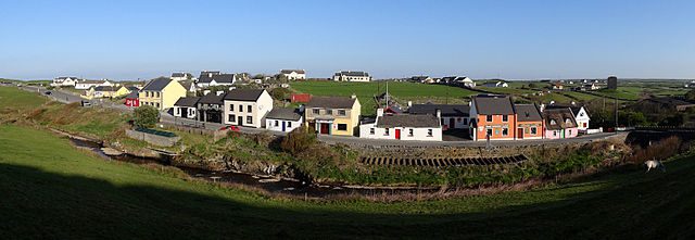
One of the most photographed and Instagrammed places in Ireland, Doolin lies on the southwestern extremity of the Burren and is internationally renowned as a centre of live Irish music, played in its many hugely popular pubs. It’s one of Ireland’s prettiest villages.
The Aran Islands
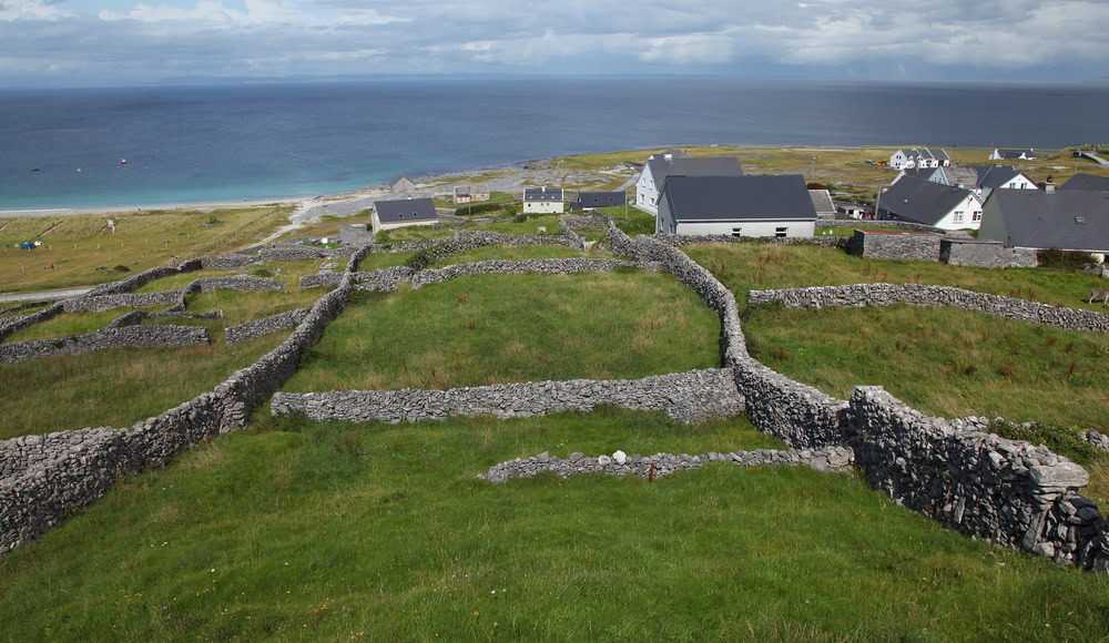
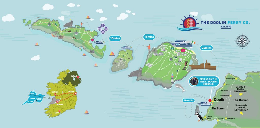
The Burren is bounded by the Atlantic Ocean and by Galway Bay, and the Aran Islands are a geological extension of the limestone hills that make up most of the Burren. They sit just off Connemara, Galway and Doolin. A true Irish experience awaits, with locals speaking Irish Gaelic as well as English amid Celtic churches of historical significance, including the UNESCO World Heritage site Dun Aonghasa, set on a dramatic 300ft cliff edge.
Burren Food Trail
Launched by the Burren Ecotourism Network in partnership with the Burren and Cliffs of Moher Geopark in 2013, the Burren Food Trail connects growers, producers, artisans, retailers, chefs, and restaurateurs who work together to promote their destination as a whole. It’s also led to the Burren Food Fayre, part of the Burren Winterage Weekend a celebration of local food including cookery demos, book launches, competitions, and foraging walks. Members include Ballyvaughan Farmers Market, Burren Brewery, Burren Fine Wine and Foods, Burren Free Range Pork Farm, Burren Gold Cheese at Aillwee Cave, Burren Smokehouse, St Tola Goat Farm, Wild Kitchen, Market House Ennistymon, and more.

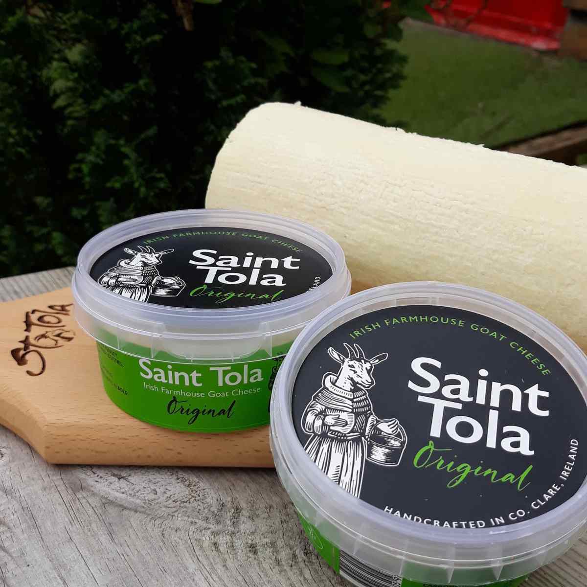
St. Tola Goat Cheese
St. Tola cheeses are handmade, with no additives or preservatives. Like living organisms, they become more distinctive in flavour as they mature.
The Burren Brewery
In spring 2011, Peter Curtin set up the Burren Brewery in the Roadside Tavern in Lisdoonvarna. The building started as a pub in 1865, was expanded into a bakery, and now also houses a micro-brewery, an eatery, and a renowned music venue. Lonely Planet recognised the quality of the beers in its Global Craft Beer Guide, published May 2017 the Burren Brewery is one of only three Irish craft breweries listed.
Burren Perfumery
The Burren Perfumery is a small-scale family business using locally produced herbs and ingredients. The Organic Herb Garden, planted in 1999, is used both for products and to teach visitors traditional Irish uses of the Burren’s locally grown herbs and florals. Pick up incredible personal products, from perfumes to organic creams and lotions, and relax in the Tea Rooms over organic scones, cakes, and lunches made with locally grown or made ingredients.

Aillwee Cheese & Fudge Shop
A genuine hidden gem the Farmshop at Aillwee lets you watch Burren Gold Cheese, a Gouda-style cheese, being made, with a team member walking you through the process. Treat yourself to the homemade fudge, and take home some honey produced by the native Irish black bee that sips nectar from the Burren’s wildflowers.
The Burren Smokehouse
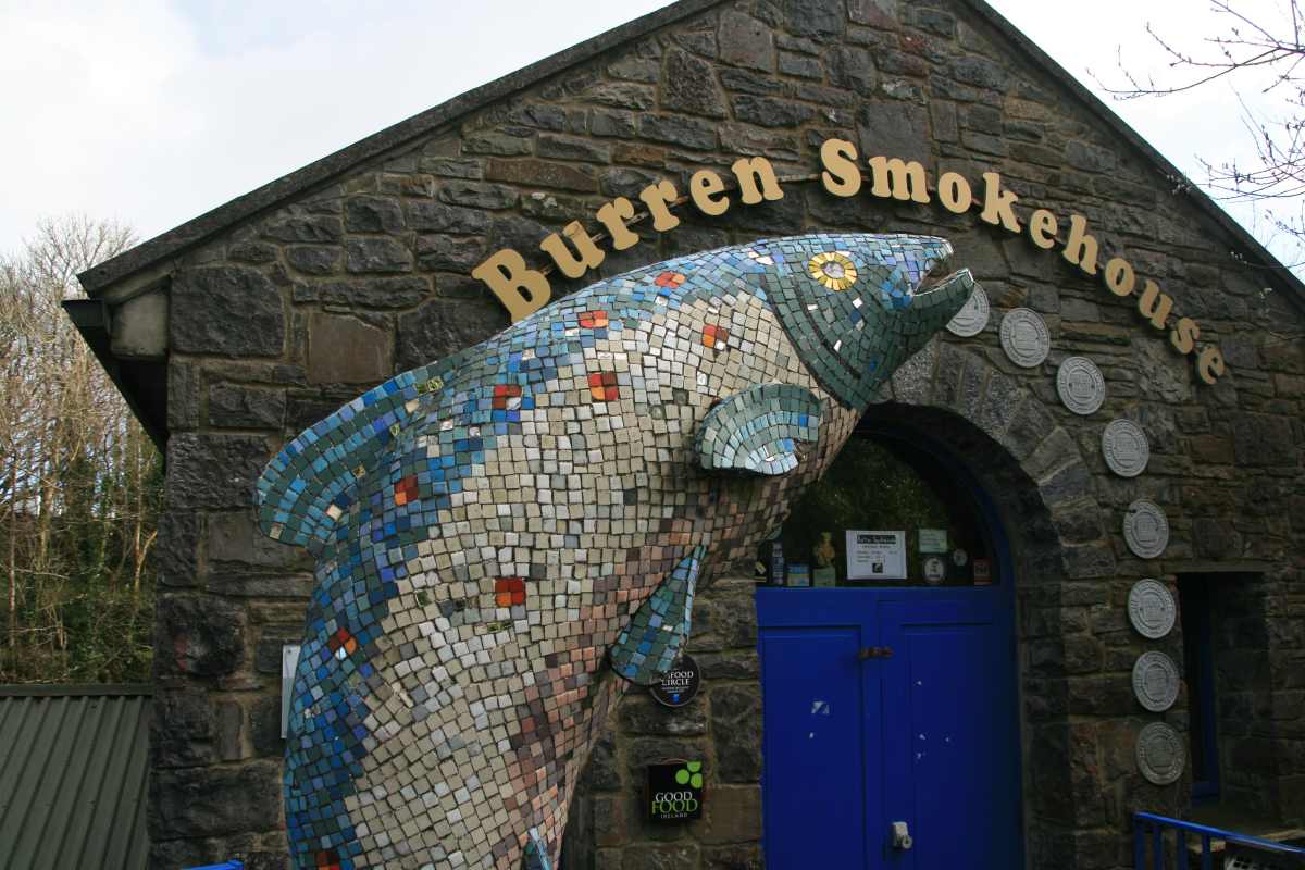
If you love smoked salmon, make a stop at the Burren Smokehouse tasting room, a short drive from the Cliffs of Moher. I’ve bought the smoked salmon here myself and it’s genuinely delicious you can learn the secrets of salmon smoking, taste it, and buy some to take or send home.
Traditions & Culture of the Burren
With its long-standing traditions as a centre of learning, the Burren shelters the remains of Cahermacnaughten and the ancient Brehon Law School which, up until the 17th century, would have been considered Ireland’s equivalent of a Yale or Harvard. The school owned one of the largest collections of early Irish legal texts, the most famous of which, Egerton MS 88, is held in the British Museum. It was produced by the O’Davoren family, lawyers in Corcomroe, Clare, between 1564 and 1569 a collection of medieval Irish legal texts.
The Burren is where the Four Masters came for the seal of approval from the ollaimhe (historians) at their Kilkeedy School, and where the Bardic School of Ó Dálaigh in Finavarra was held. Under the old Brehon system, such was the respect for learning that the ollamh, or professor, held equal rank to a king or bishop.


Ghost Stories & Irish Myths of the Burren
The Burren’s story-telling tradition runs just as deep as its archaeology these are genuine, long-attested local legends, not invented atmosphere:
Máire Rua and Leamaneh Castle
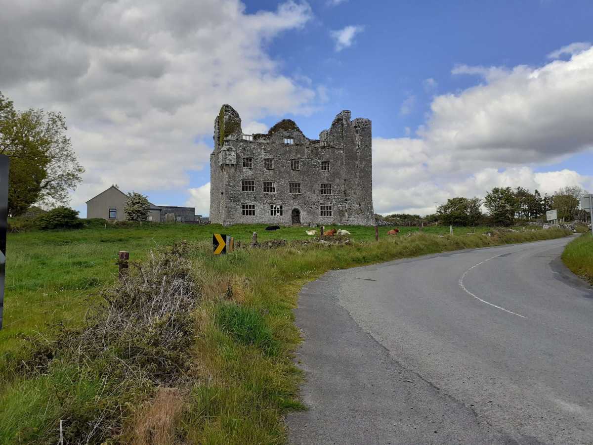
The best-known Burren ghost story belongs to Leamaneh Castle, near Corofin on the Burren’s southern edge. Máire Rua (“Red Mary”) O’Brien was a real seventeenth-century noblewoman whose fierce reputation curdled into legend: local tradition holds she hanged servants from the castle’s corbels for small mistakes, and that she outlived a string of husbands. Her red-haired ghost is still said to walk the castle’s old avenue.
The Púca of the Burren
Local folklore holds that a púca a shape-shifting spirit that can appear as a black goat or horse haunts the Burren’s rocky expanses, leading travellers astray after dark or, in gentler versions of the tale, offering cryptic glimpses of the future to those who cross its path respectfully.
The Cursed Stone of Cahercommaun
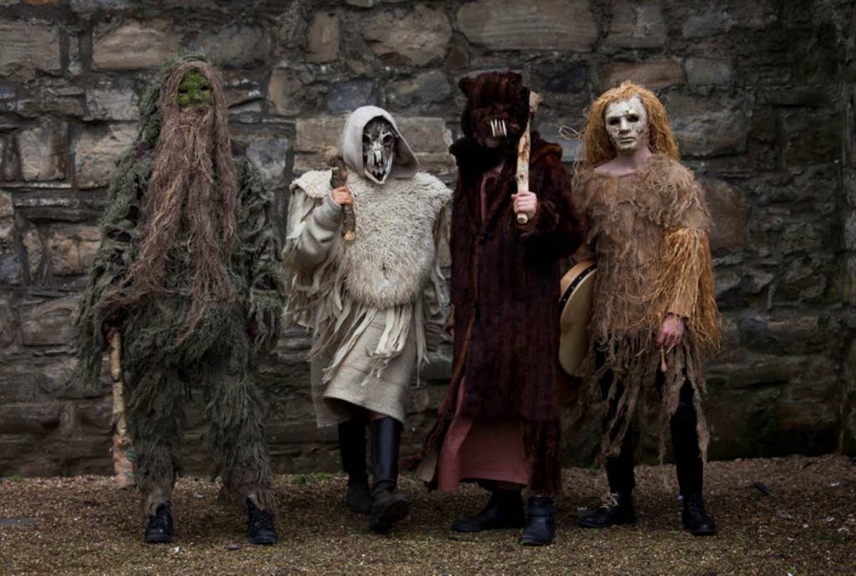
At the Iron Age ring fort of Cahercommaun, tradition warns against disturbing a particular stone, said to bring misfortune on anyone who moves it one of many Burren sites where old raths and cashels are treated as thresholds into the Otherworld rather than simply archaeology.
Fairy Forts and the Aos Sí
Ring forts scattered across the Burren are widely known locally as fairy forts, homes of the aos sí. The old rule still holds in places: don’t disturb the fort, and don’t cut the lone hawthorn that often grows beside one, or ill luck follows.
The Cailleach and the Wild Atlantic Edge
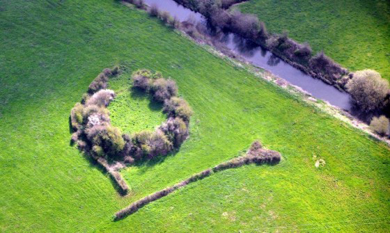
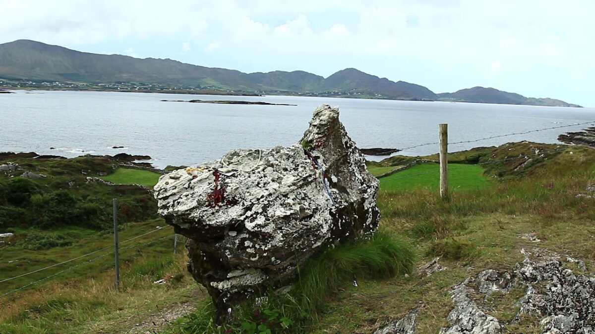
Further along the coast, the Cailleach Bhéara the mythic hag associated with storms, mountains, and the shaping of the landscape itself is woven into the folklore of this stretch of the Atlantic coast, part of the same body of myth as Newgrange and the Tuatha Dé Danann. If you want more of this side of Ireland, my Irish Culture and Folklore guide goes much deeper.

The Burren and the Great Famine
Clare was badly scarred by the Great Irish Famine of the mid-nineteenth century, and almost 50,000 people died of the famine combined with disease. Nearly 40,000 of those died in the workhouses, with Ennistymon the most notorious the workhouse was torn down, and only a ruined chapel remains on the site. Another 40,000 fled Clare to Cobh, ending up on coffin ships bound for the New World.

Where to Stay in the Burren
The choice of accommodation largely depends on your travel plans. Galway, the closest major city, is a popular option, though some travellers opt for Limerick, Shannon, or Ennis, depending on their direction of travel.
Kilmoon Cottage Lisdoonvarna
Kilmoon Cottage in Lisdoonvarna offers a cosy holiday home with one bedroom and a bathroom. Family rooms provide ample space for relaxation.
Ballinsheen House
Situated in Lisdoonvarna, Ballinsheen House offers free Wi-Fi and free private parking, on the edge of Burren National Park, just 10 minutes from the Cliffs of Moher. Mornings bring a cooked breakfast alongside a buffet of cereal, yogurt, fruit, and bread including a full Irish breakfast, a local farmhouse cheese plate, and smoked salmon from the Burren region.
Rathbaun Hotel
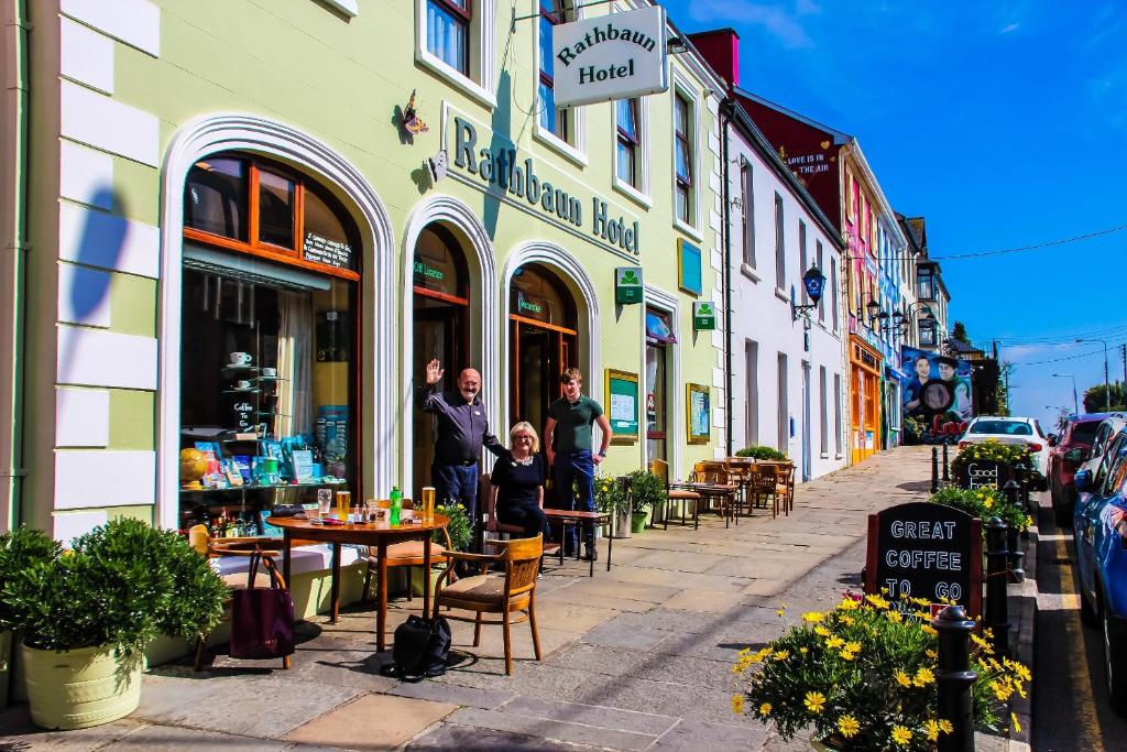
The most renowned hotel in Co. Clare for live Irish music, from 19:30 June–August. Freshly cooked breakfast 8:00–12:00 noon, home-cooked food at reasonable prices, full menu until 23:00, Illy coffee, creamy pints of Guinness, and a delicious seafood chowder 60 years of Burren experience.
The Burren is a unique and fascinating region that offers visitors an unforgettable experience whether you’re drawn by its rich history, its stunning natural beauty, or simply a leisurely stroll through its ancient landscapes, there’s something here for everyone. Put it on your list of must-visit destinations.
Visiting the Burren FAQ
What is the Burren?
The Burren is a roughly 250 to 560 square kilometre limestone karst landscape in North County Clare, Ireland. Its name comes from the Irish word Boireann, meaning “great rock.” The Burren is known for its bare, glacier-scoured limestone pavements, rare Arctic-alpine wildflowers, and one of Europe’s densest concentrations of Neolithic and early Christian archaeological sites.
Where is the Burren located in Ireland?
The Burren is in North County Clare, extending into the south of County Galway, on Ireland’s west coast along the Wild Atlantic Way. It sits directly beside the Cliffs of Moher, and its main towns and villages include Ballyvaughan, Lisdoonvarna, Kilfenora, Corofin, Doolin, and Kinvara.
What is the Burren famous for?
The Burren is famous for its moon-like, karst limestone landscape, the unusual combination of Arctic-alpine and Mediterranean wildflowers growing side by side, and thousands of archaeological sites, including the 5,800-year-old Poulnabrone Dolmen. It was named a UNESCO Global Geopark in 2011.
How was the Burren formed?
The Burren is a karst landscape formed from limestone laid down around 350 million years ago under a tropical sea. Over millions of years, rainwater and glaciation dissolved and scoured the rock, wearing it into flat limestone pavements criss-crossed with cracks called grikes, along with caves, underground streams, turloughs (disappearing lakes), dolines, and poljes.
Is Burren National Park free to visit?
Yes. Burren National Park has no entrance fee and free visitor parking. It has no on-site visitor centre; its Information Point is located in the Clare Heritage Centre on Church Street in Corofin, and free guided walks are run from there in season.
What’s the difference between Burren National Park and the Burren Centre?
Burren National Park is the protected natural park near Corofin, which is free to enter. The Burren Centre is a separate, privately-run paid interpretive attraction located in the village of Kilfenora, several kilometres away, next to Kilfenora Cathedral. They are two different places under different management.
What is the Burren and Cliffs of Moher Geopark?
The Burren and Cliffs of Moher Geopark is a UNESCO Global Geopark designated in 2011, covering the full Burren region together with the Cliffs of Moher. It promotes sustainable tourism and conservation across the area’s geology, wildlife, and cultural heritage.

What can you see in the Burren National Park?
Inside the park you can see limestone pavement karst scenery, turloughs, hazel woodland, and rare flora on looped trails such as the Mullach Mór (Mullaghmore) Loop and the Kinallia Walk. Nearby in the wider Burren region are Poulnabrone Dolmen, Aillwee Cave, Doolin Cave, and the Cliffs of Moher.
Is the Burren the same as the Cliffs of Moher?
No, but they’re part of the same protected area. The Cliffs of Moher are a 14-kilometre stretch of sea cliffs on the Atlantic coast, while the Burren is the limestone karst region just inland from them. Both are covered by the Burren and Cliffs of Moher UNESCO Global Geopark.
What’s the best time of year to visit the Burren?
Late April through June is the best time to see the Burren’s signature wildflower bloom, when Arctic-alpine species like spring gentian flower alongside Mediterranean species in an unusual overlap unique to the region. Summer is busiest at the Cliffs of Moher and Aillwee Cave; autumn and winter are quieter but some attractions reduce hours.
Driving in Ireland articles
How to visit Glenveagh without a car