
How to Drive the Causeway Coastal Route, Northern Ireland: 31 Unmissable Stops
The Causeway Coastal Route is a 120-mile scenic drive along the northern coast of Ireland, running from Belfast to Derry (Londonderry). It passes through nine glacial glens, past medieval castles, UNESCO-listed basalt columns, dramatic sea cliffs, and folklore-steeped villages. Allow a minimum of three days to do it justice, though five days lets you truly savour it.
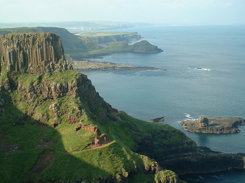
Driving the Causeway Coastal Route in Northern Ireland is one of those experiences that stays with you long after you leave. I grew up in Northern Ireland and have driven this road more times than I can count, taking visitors and friends to every stop along the way. Each time it still takes my breath away.
The scenery shifts from wide golden beaches to vertiginous sea cliffs, from ancient castle ruins balanced impossibly on basalt rock to dense glacial glens thick with myth and Irish folklore. The interlocking basalt columns of the Giant’s Causeway, the vertigo-inducing Gobbins cliff path, the crumbling romance of Kinbane Castle and the spider-web drama of Carrick-a-Rede Rope Bridge: this route has everything.
In this guide I’ll walk you through 31 stops along the North Antrim coast drive, the real costs involved, the best time to go, what to eat, driving tips specific to Irish roads, and how to make this journey your own. Before you go, check my Northern Ireland Travel Tips Guide for essential planning information.
If you are combining Northern Ireland with a wider trip, my 2-week UK and Ireland itinerary shows exactly how to balance time across the island.
- How to Drive the Causeway Coastal Route, Northern Ireland: 31 Unmissable Stops
- What Is the Causeway Coastal Route?
- How Long Does the Causeway Coastal Route Take?
- Best Time to Visit the Causeway Coastal Route
- Driving the Causeway Coastal Route: What You Need to Know First
- How to Plan Your Causeway Coastal Route: Step by Step
- How Much Does the Causeway Coastal Route Cost? A Realistic Breakdown
- Getting Around Without a Car: Causeway Coast Buses
- 31 Stops on the Causeway Coastal Route
- What to Eat and Drink Along the Causeway Coastal Route
- The Nine Glens of Antrim: What You Need to Know
- The Causeway Coast and Game of Thrones
- Where to Stay Along the Causeway Coastal Route
- More of My Northern Ireland Guides
- My thoughts on the Causeway Coastal Route
- Frequently Asked Questions: Causeway Coastal Route Northern Ireland
- Driving in Ireland articles
What Is the Causeway Coastal Route?
The Causeway Coastal Route is a designated scenic driving route along the northern coastline of Ireland. It stretches approximately 120 miles (193 kilometres) from Belfast in the east to Derry (Londonderry) in the west, tracing the coastline of County Antrim and into County Derry.
The route was named one of the world’s greatest road journeys and it is easy to see why. It combines outstanding natural beauty, including the UNESCO World Heritage Site of the Giant’s Causeway with its famous interlocking basalt columns, with a density of historical sites, walking trails, and cultural landmarks that few coastal roads anywhere can match.
From Belfast, the distance to the Giant’s Causeway is 61 miles. The full route from Belfast to Derry covers 195 miles (313 kilometres) when you follow the coastal road properly rather than cutting inland. For more context, see Discover Northern Ireland’s official route information.

How Long Does the Causeway Coastal Route Take?
The drive itself, without stopping, takes around two to three hours from end to end. But nobody drives this route to set a speed record.
A single rushed day will get you to the headline sites. To do the full route properly, allow three to five days. Five days gives you time to walk the Gobbins cliff path, cross to Rathlin Island, explore the nine glens of Antrim and still have an evening in Derry.
Best Time to Visit the Causeway Coastal Route
The route is driveable year-round but each season has a different character, and choosing the right time can transform the experience.
May and June: The Sweet Spot
Late May and June are the best months for most visitors. The hedgerows and glens are at their most vivid green, daylight stretches to after 10pm, the Gobbins cliff path is open, puffins are arriving on Rathlin Island, and the crowds have not yet peaked. Accommodation is easier to book and you will not queue at the Giant’s Causeway car park for twenty minutes just to park.

July and August: Peak Season
July and August bring the best chance of dry weather but also the biggest coach groups, the highest prices, and the longest queues. The Giant’s Causeway and Carrick-a-Rede are genuinely very busy in high summer. If you visit in July or August, get to the major attractions before 9am or after 4pm and you will have them largely to yourself.
September and October: Underrated
September is, in my opinion, an exceptional month on the Causeway Coast. The summer crowds have gone, the light turns golden, the glens take on autumn colour, and most attractions are still open. Accommodation prices drop. The Gobbins is still running. The puffins have left Rathlin but the crossing itself is still worth it for the island’s peace and birdlife.
November to March: Winter Drama
Winter on the coast is not for the faint-hearted but it has its own rewards. The Giant’s Causeway in a winter storm is breathtaking in the truest sense of the word. Some cafes and smaller attractions close, the Gobbins path can be shut for safety inspections, and the Causeway Rambler bus stops running. But the roads are quiet, the light is extraordinary and hotel rates drop significantly.
Personal note: I have walked Fair Head in February with sleet in my face and not regretted a single second of it. The Causeway Coast in winter is not the same experience as summer, but for anyone willing to layer up and commit, it is unforgettable in a completely different way.
Driving the Causeway Coastal Route: What You Need to Know First
If you are coming from North America, Australia or continental Europe, driving in Northern Ireland involves a few things that require adjustment. Getting these right before you set off will save you stress and keep the focus on the scenery.
Drive on the left. Northern Ireland, like the rest of the UK, drives on the left-hand side of the road. Roundabouts are navigated clockwise. Give yourself the first twenty minutes to acclimatise before you reach the narrow roads of the glens.
Distances are in miles, speeds in mph. Speed limits are shown in miles per hour, not kilometres. The national speed limit on rural roads is 60mph, dropping to 30mph in towns and 50mph on some roads. Stick to these: rural roads in Antrim have speed cameras.
Narrow lanes are everywhere. The roads between Cushendall and Torr Head, through the glens, and around the Islandmagee peninsula are single-track in places with passing places. Do not drive these fast. The locals do, but they know every bend.

Book a small car. A compact car is vastly easier to drive on the Causeway Coast than a large SUV. If you are renting, book the smallest vehicle you can comfortably travel in. Automatic gearboxes are available but in shorter supply: book early if you need one.
Fuel up in towns. Petrol stations are scarce on the smaller coastal roads. Fill up in Larne, Ballycastle, Bushmills or Coleraine rather than hoping for a garage between Torr Head and Cushendun.
Parking is variable. The Giant’s Causeway area is the main pinch point. Do not pay the National Trust parking charge if you are not using their visitor centre: use the railway car park nearby for a few pounds instead. Most other stops have free or very cheap parking.
Currency is sterling. Northern Ireland uses pounds sterling, not euros. This catches many visitors who have been in the Republic. ATMs are available in all towns but carry some cash for rural car parks, cafes and the Rathlin Island ferry.


How to Plan Your Causeway Coastal Route: Step by Step
Follow this sequence to get the most from your time on the Antrim coast road.
Start in Belfast. Pick up your rental car and head east on the A2 coast road towards Carrickfergus. Do not take the motorway: the coast road is the point.
Drive east to west. Belfast to Derry is the logical direction. You face the sea on your left for most of the drive, which means better views and easier parking access at clifftop stops.
Book ahead for key attractions. The Gobbins cliff path must be booked online well in advance. Carrick-a-Rede tickets are purchased on the day at the site, so arrive early in peak season. The Rathlin Island ferry books out in summer: pre-book online.
Plan your overnight stops. Glenarm or Ballycastle are good bases for exploring the glens. Bushmills puts you within minutes of the Giant’s Causeway. Portrush or Portstewart work well for the western section before Derry.
Leave buffer time. The Torr Head scenic route and Fair Head cliff walk reward those who slow down. Do not over-schedule your days.
Check seasonal bus services. If you are not driving, the Antrim Coaster (service 252) and Causeway Rambler (service 402) operate between May and September.
Save Derry for last. Give yourself at least a full day in the city to walk the walls, explore the Bogside murals and enjoy the pub scene before heading home or continuing south into Donegal.


How Much Does the Causeway Coastal Route Cost? A Realistic Breakdown
This is a question almost no guide answers directly. Here are the current costs for the main paid attractions and practicalities, so you can plan your budget before you go. All prices are in pounds sterling.
| Attraction / Cost | Adult Price | Notes |
| Gobbins Cliff Path | £21.50 | Children/seniors £15.50. Family (2+3) £48. Book online in advance. |
| Carrick-a-Rede Rope Bridge | £15 per person | Children under 17 half price. Buy on the day at the site. |
| Giant’s Causeway (entry) | Free | National Trust visitor centre costs extra. Parking £10 nearby. |
| Rathlin Island Ferry | £8 each way | Return £16 per adult. Book online in peak season. |
| Rathlin Puffin Bus | £5 return | Cash only. Board fast, spaces limited. |
| Dunluce Castle | £9 adult | Check current prices at NI Direct. |
| Carrickfergus Castle | Approx £5.50 | Concessions £3.50. Check winter hours. |
| Bushmills Distillery Tour | Approx £8 | Includes tasting. Book ahead in summer. |
| Dark Hedges Parking | Free | Park nearby and walk. Road closed to traffic. |
| Glenariff Forest Park | Car park charge | Around £5 per car. |
Note: prices are correct as of 2025 but should be verified before your visit as they may change. Check Discover Northern Ireland for current admission details.
Getting Around Without a Car: Causeway Coast Buses
Renting a car gives you the most freedom on this route, but between May and September three bus services cover the main sites.
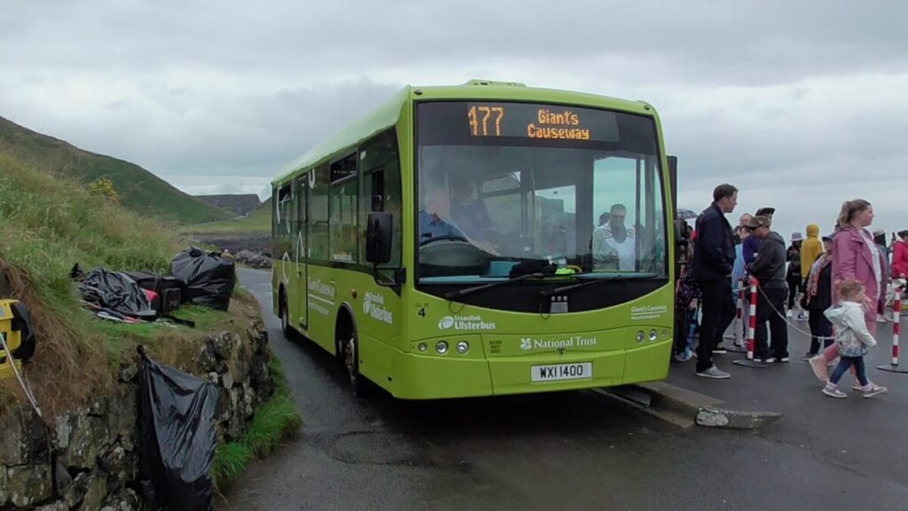
- Ulsterbus 177: Giant’s Causeway to Coleraine, serving Bushmills, Portballintrae, Dunluce Castle, Portrush and Portstewart. Four buses daily, July to August.
- Antrim Coaster 252: Belfast to Coleraine via Larne, Ballycastle, Ballintoy, Giant’s Causeway, Bushmills, Portrush, Portstewart and Coleraine. Two buses daily, May to September.
- Causeway Rambler 402: Carrick-a-Rede to Coleraine via Ballintoy, White Park Bay, Dunseverick Castle, Giant’s Causeway, Bushmills and Dunluce Castle. Seven buses daily, June to September.
For accessible-travel-guides-ireland-uk-europe along the route, read my Accessible Giant’s Causeway guide.

31 Stops on the Causeway Coastal Route
1. Carrickfergus
Head east from Belfast for around 26 minutes and your first stop is Carrickfergus Castle, one of the best-preserved Norman castles in Ireland. Built by the Anglo-Norman John de Courcy over 800 years ago, it sits right on the water’s edge with cannons pointing out across the bay. Entry costs around £5.50 for adults. Check opening hours before visiting as winter hours differ.

2. Whitehead
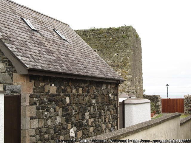
A 30-minute drive south from Carrickfergus brings you to Whitehead, a genteel Victorian seaside town that grew up around the railway in the 1850s. The ruins of Chichester Castle sit quietly on Chester Avenue and the promenade walk is a lovely leg-stretch before continuing north.
3. Islandmagee
Not quite an island but a peninsula, Islandmagee is around 10 minutes from Whitehead and worth a detour for Brown’s Bay beach, birding and the quiet northern coves at Portmuck. The southern shore of Larne Lough is gentler but not suitable for swimming. Islandmagee is infamous for its witch trials and the Carrickfergus Trials that took plac in 1711 for alleged witchcraft. It is believed to have been the last witch trial to take place in Ireland.

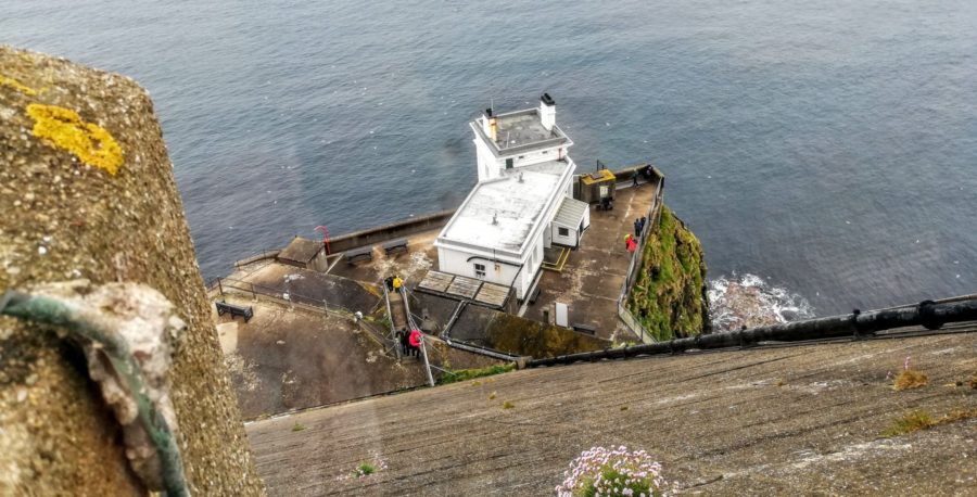
4. The Gobbins Cliff Path
I walked the Gobbins path more times than I should admit in my youth and have fond memories of the challenging path. The tubular bridge section, suspended over the churning sea below the limestone cliffs, is genuinely extraordinary. Book well ahead. This is not a walk you stumble across and do on a whim.
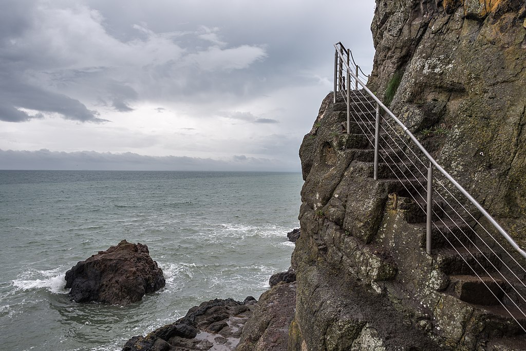
The Gobbins cliff path runs along the eastern edge of Islandmagee, negotiating limestone cliffs, tubular bridges, caves and steps carved directly from the rock face. The guided tour takes around two and a half to three hours. The path has been closed roughly 46 percent of the time since reopening due to storm damage, so always verify it is open before planning your visit.
Cost: £21.50 for adults, £15.50 for children and seniors, £48 for a family of five. Must be booked in advance. Children under 4 feet tall cannot access the path. Walking aids and backpacks are not permitted.
5. Larne
Ten minutes from Islandmagee, Larne rewards those who stop. The Armada Tree is said to have grown from seeds carried in a Spanish sailor’s pocket from the 1588 Armada. Walk north along the Glenarm coastal path to find the Madman’s Window: two limestone boulders weathered into a natural frame looking out over the Irish Sea.
6. Glenarm
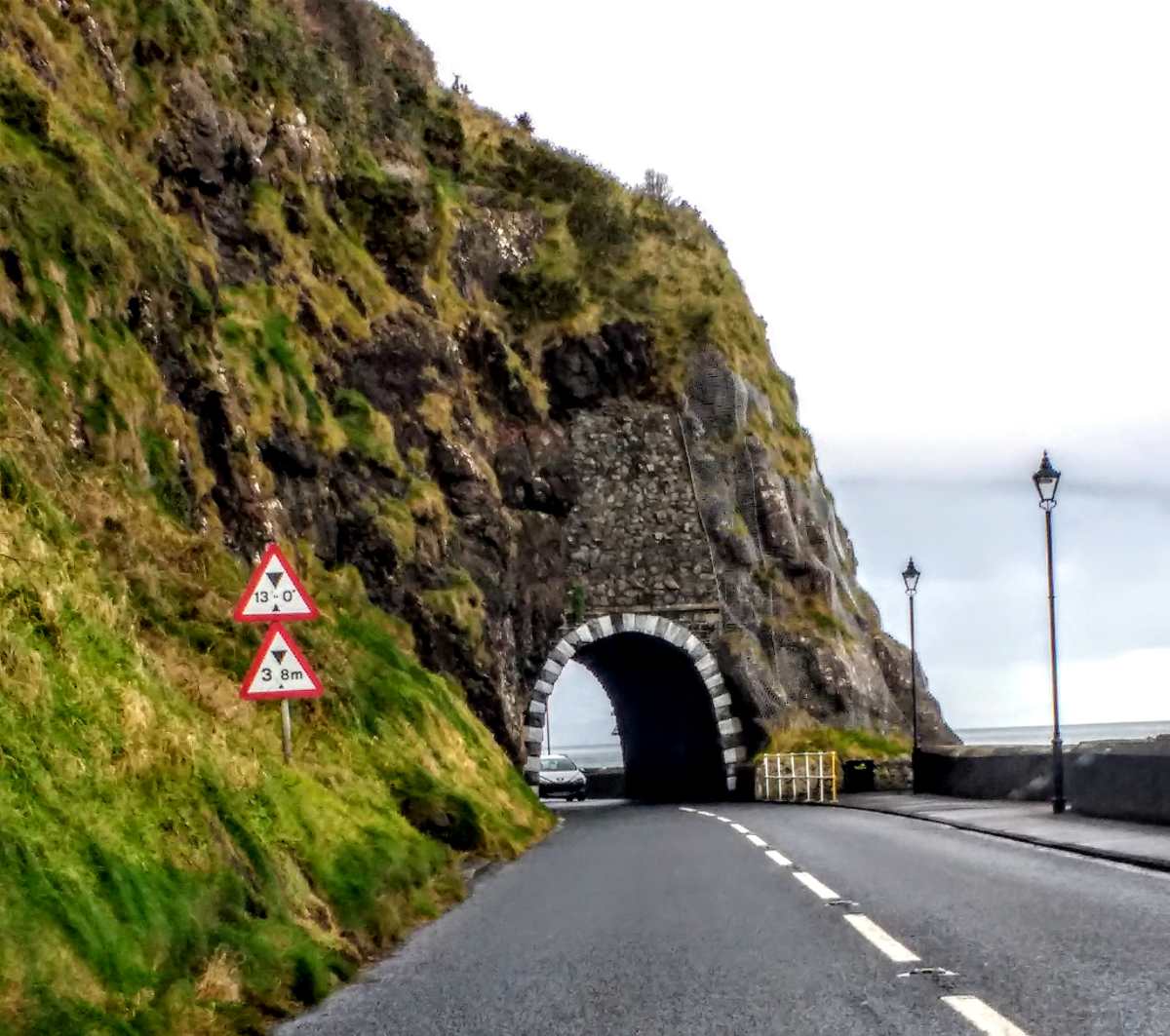
Twenty minutes from Larne, Glenarm is the southernmost of the nine glens of Antrim and one of the oldest villages on the coast. The walled garden and castle cafe at Glenarm Castle are open to visitors. The Barbican gatehouse is available as a B&B and is one of the most romantic places to sleep on the entire route.

7. Slemish Mountain
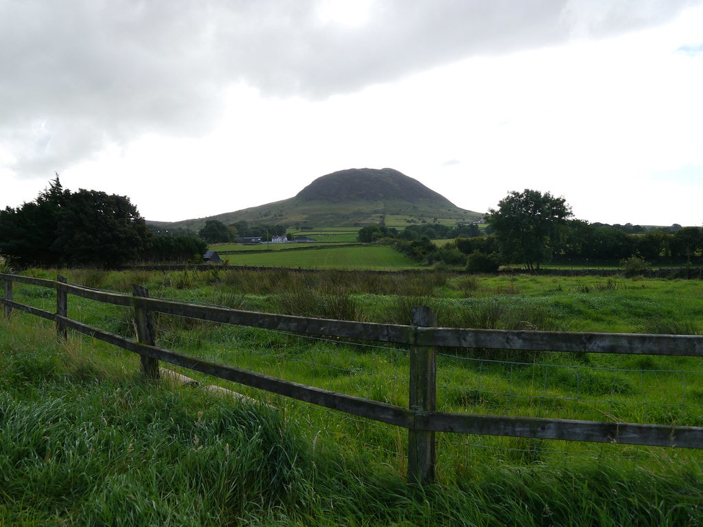
Visible from several points along the coast road, Slemish is the eroded plug of an ancient volcano, flattened by glaciers. This is where Saint Patrick was held as a slave after being captured from Britain. The climb from the car park at the base is around 1,430 feet: challenging but with spectacular views across Antrim.
8. Carnlough
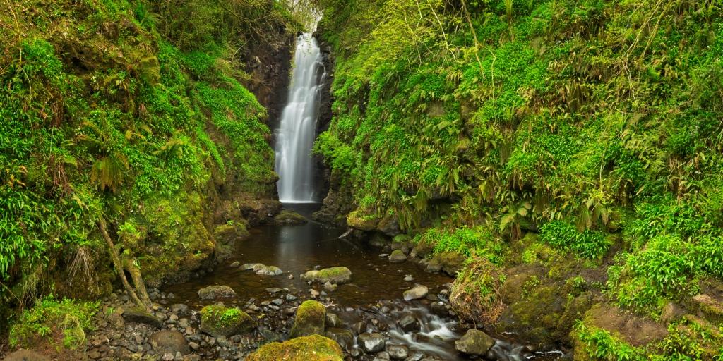
Carnlough sits at the mouth of Glencloy and has a beautiful harbour built by the Marchioness of Londonderry. The Londonderry Arms Hotel was once a coaching inn owned by Winston Churchill. The Cranny Falls walk is a short, well-signposted trail ending at a lovely waterfall in an Area of Outstanding Natural Beauty.

9. Waterfoot and Glenariff Forest Park
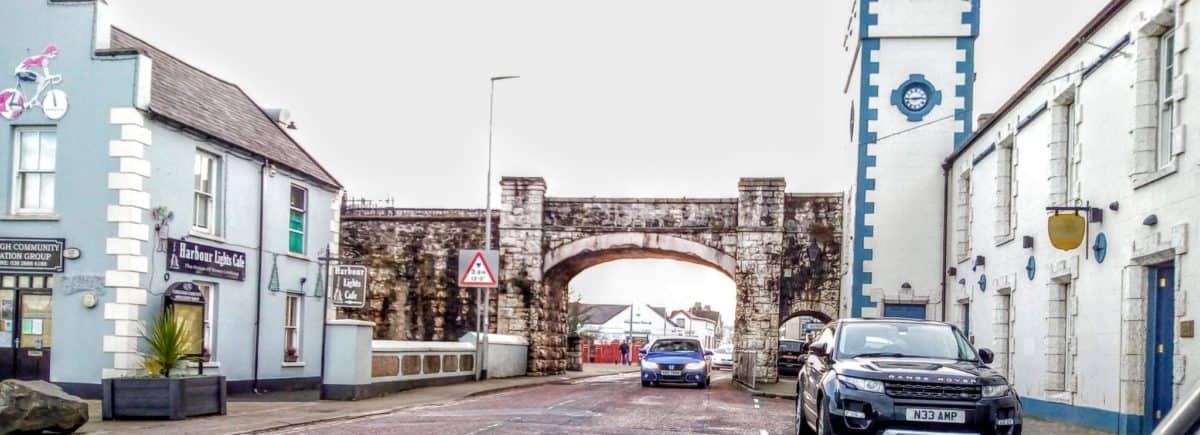
Waterfoot has a striking red sand beach and sits at the foot of Glenariff, the Queen of the Glens. Glenariff Forest Park is one of the most rewarding walks on the entire route: three spectacular waterfalls tumbling through ancient woodland with a genuinely primordial atmosphere. In July, the village hosts the Glens of Antrim Feis, a Gaelic celebration of music, dance, sport and storytelling.
10. Cushendall
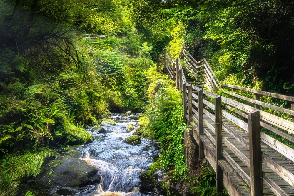
Five minutes from Waterfoot, Cushendall calls itself the heart of the Glens and was the first place in Ireland to be electrified, powered by its own waterfalls. The distinctive red sandstone Curfew Tower in the village centre was built in 1817, ostensibly to detain idlers. In August, the Heart of the Glens Festival draws thousands.

11. Cushendun
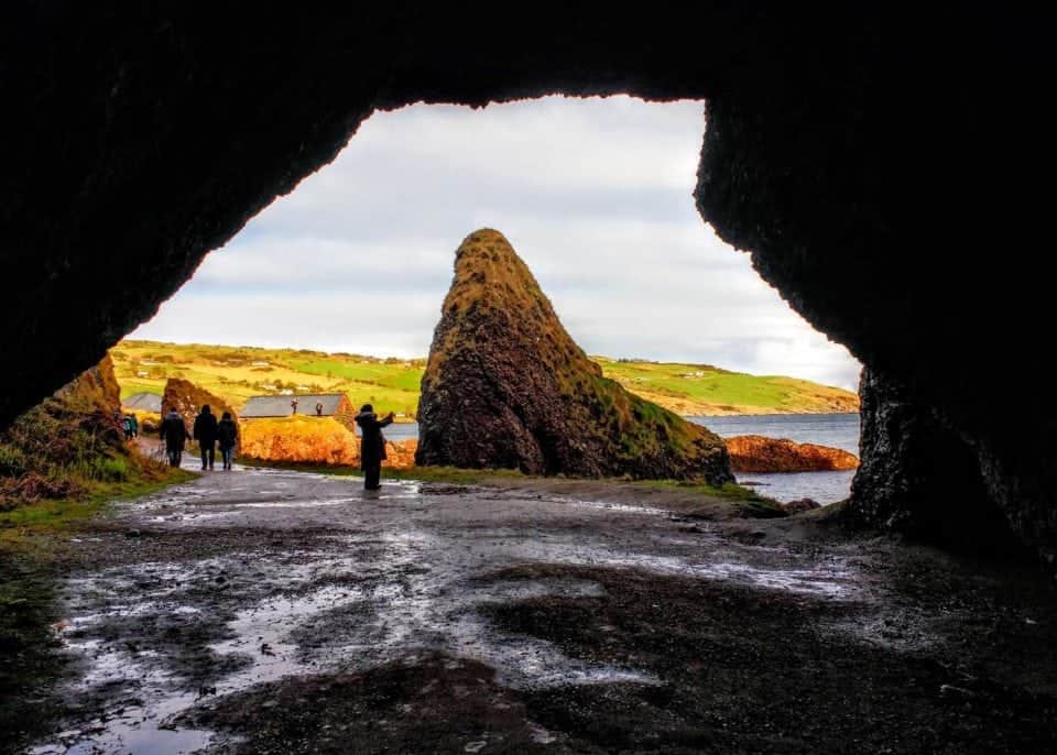
Cushendun sits at the foot of Glendun and Glencorp glens and looks almost Cornish with its whitewashed National Trust cottages. The beach stretches wide and the surrounding mountains are scattered with traces of human settlement going back to Neolithic times. The sea caves at Cushendun featured in Game of Thrones as the location where Melisandre gave birth to her shadow creature: get there early in high season to have the caves to yourself.

12. Fairy Hill of Tiveragh
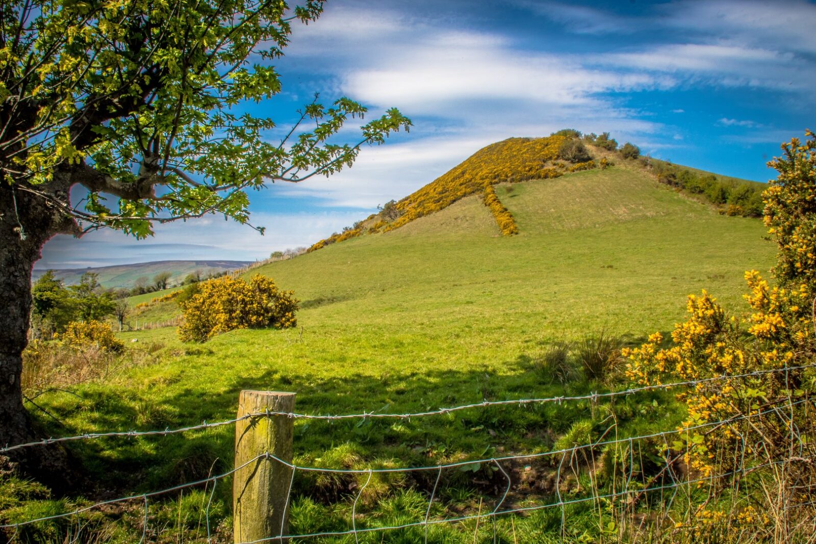
Find the Ballybrack road near Cushendun and you find Tiveragh, a hill with a deeply rooted place in Irish folklore. Local belief holds that the hill’s well-kept side is tended by good fairies and its rougher side by mischievous ones. A fairy tree halfway up is said to be most active on Samhain (Halloween). These stories are not quaint tourist confections: they are part of a genuine living tradition of fairy belief that runs deep through this part of Antrim.
13. Fair Head
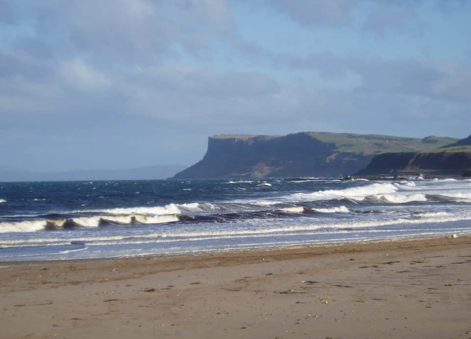
Standing on the 100-metre dolerite cliffs at Fair Head, you can see three countries on a clear day: Ireland below you, Scotland across the water and Rathlin Island directly ahead. The cliffs are among the highest on the island of Ireland and the views west towards Donegal are extraordinary.
Personal note: Fair Head made a poet out of me, temporarily. The stone walls, the silence, the sheer weight of the cliffs dropping away beneath you. There is nowhere on this route quite like it.
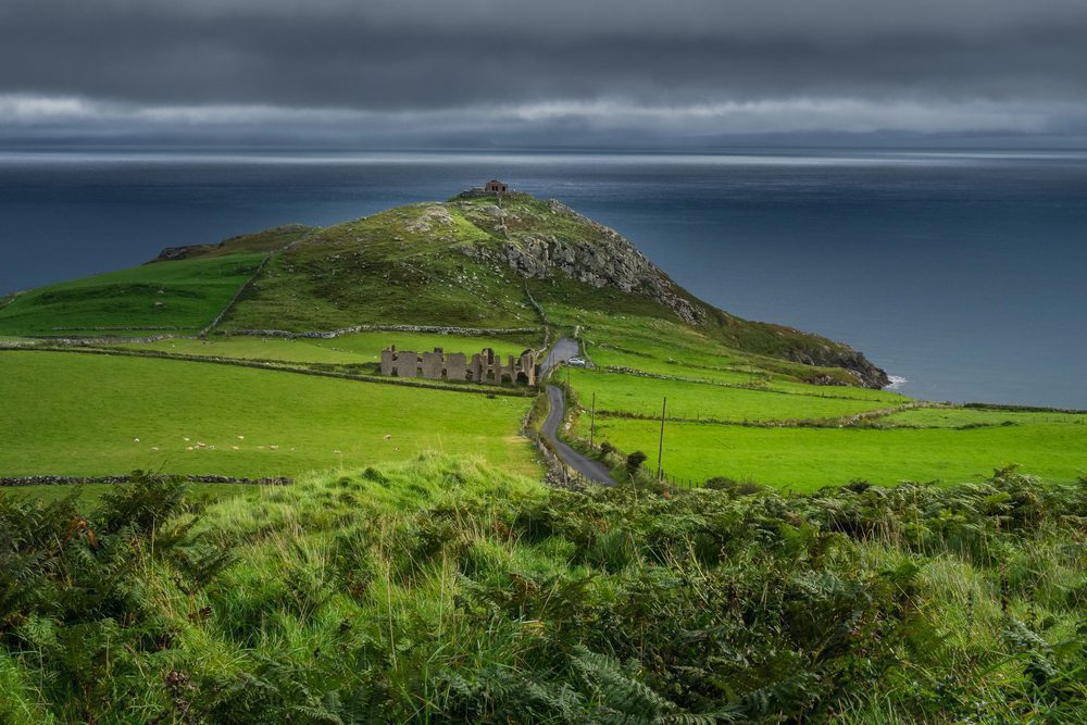
14. Torr Head Scenic Route
The Torr Head road is a narrow, sometimes vertiginous lane that follows the cliff edge towards Ballycastle. Torr Head looks directly across the North Channel to the Mull of Kintyre, just 12 miles away at the closest point. The tides here are notoriously strong: historically, crossing to Scotland was sometimes easier than traversing the mountain passes behind the glens.
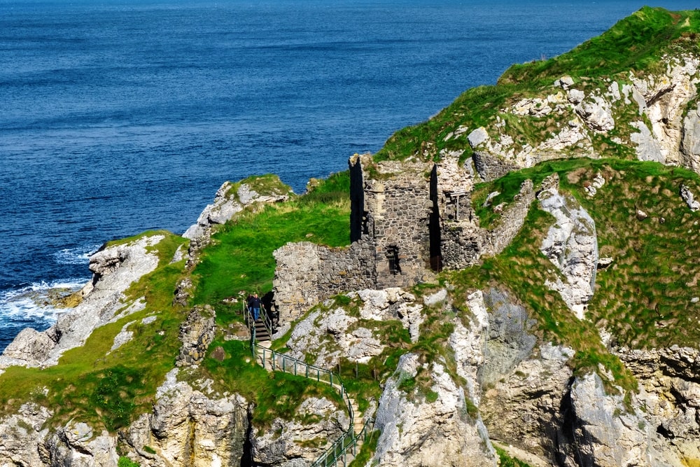
15. Kinbane Castle
Kinbane Castle is one of the most dramatically situated ruins on the entire coast. Built in 1547 by Colla Dubh MacDonnell, it sits on a long limestone headland jutting into the sea, connected to the mainland by a steep path of steps. Most visitors drive straight past it on the way to Carrick-a-Rede. If you stop, you will almost certainly have it to yourself. The name Kinbane means ‘white headland’ in Irish, referring to the pale limestone rock. Free to visit. Turn off the main road at the Kinbane Head sign.
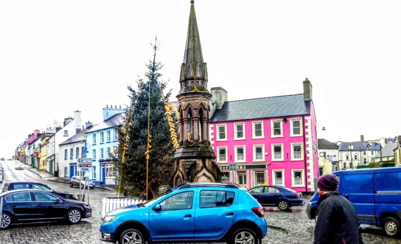
16. Ballycastle
Ballycastle is the largest town on this section of the route and a good base for exploring. Just outside the town on the Whitepark Road lie the ruins of Bonamargy Friary, famous for its Black Nun. The nun asked to be buried at the entrance of the chapel so she would be walked over by all who entered: her grave, marked by a uniquely holed cross, is still there. See my full guide to Ballycastle and the Antrim coast for more.

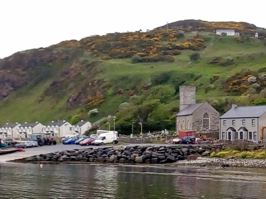
17. Rathlin Island
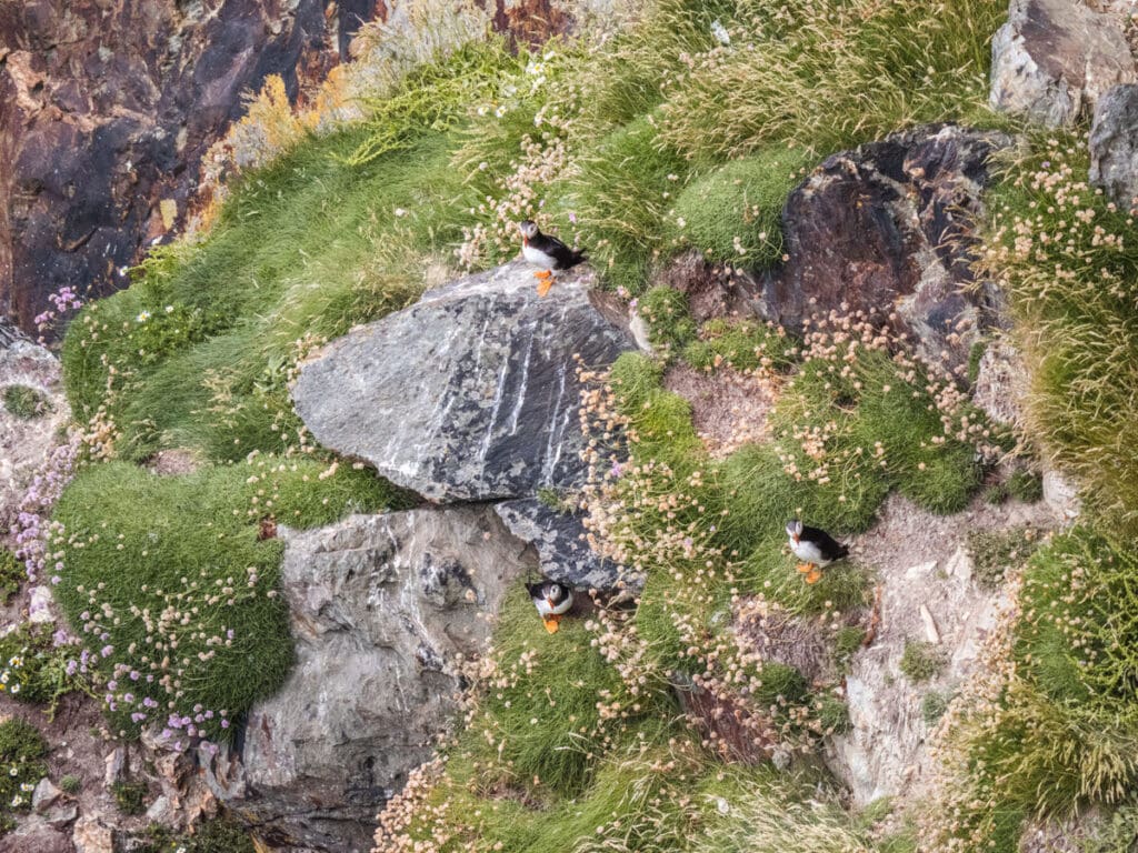
Rathlin Island is not officially part of the Causeway Coastal Route, but leaving it out would be a mistake. The island is car-free, home to one of Ireland’s most spectacular seabird colonies and served by a regular ferry from Ballycastle. In summer, puffins gather in extraordinary numbers at the RSPB West Light Seabird Centre. The Puffin Bus meets the ferry (£5 return, cash, board fast as it fills instantly). The island has a pub.
Ferry costs £8 each way per adult in 2025. The crossing takes around 25 to 40 minutes depending on which boat is running. Book online in peak season as the first and last ferries sell out quickly. Bikes can be rented on the island for around £15 to £20 per day.

18. Bushmills Village and Distillery
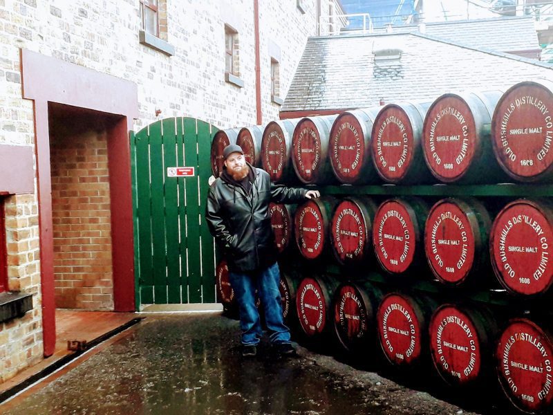
Bushmills is the closest village to the Giant’s Causeway and is home to Old Bushmills Distillery, Ireland’s oldest licensed distillery, which has been blending whiskey on this site for over 400 years. Tours cost around £8 per adult and include tastings. The village itself has the highest concentration of listed buildings in Northern Ireland.
19. Carrick-a-Rede Rope Bridge
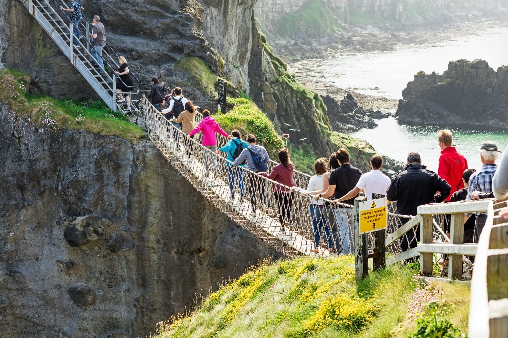
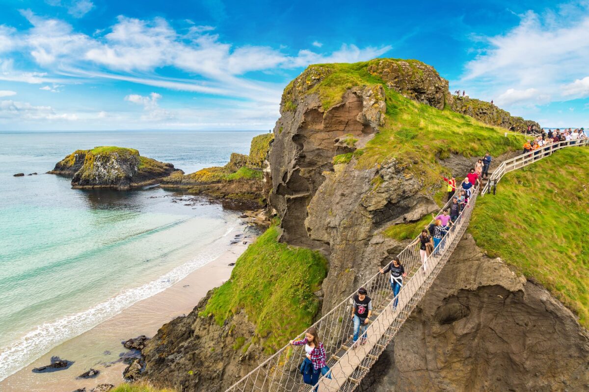
The Carrick-a-Rede Rope Bridge is a 20-metre rope bridge suspended 30 metres above the sea, connecting the mainland to a small island used by salmon fishermen for centuries. The walk to the bridge is a 2.5-kilometre round trip with rough terrain and steps. Tickets cost £15 per person for adults and must be bought at the bridge on the day you visit. Arrive early in summer as it sells out. Not suitable for those with limited mobility.
20. Ballintoy
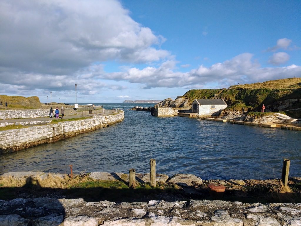
Five minutes from Carrick-a-Rede, Ballintoy Harbour is a small limestone harbour built to ship limestone and salt to Scotland. Game of Thrones fans know it as Lordsport Harbour on the Iron Islands. Follow the signs for the harbour rather than the village: the two are separate.
21. The Dark Hedges
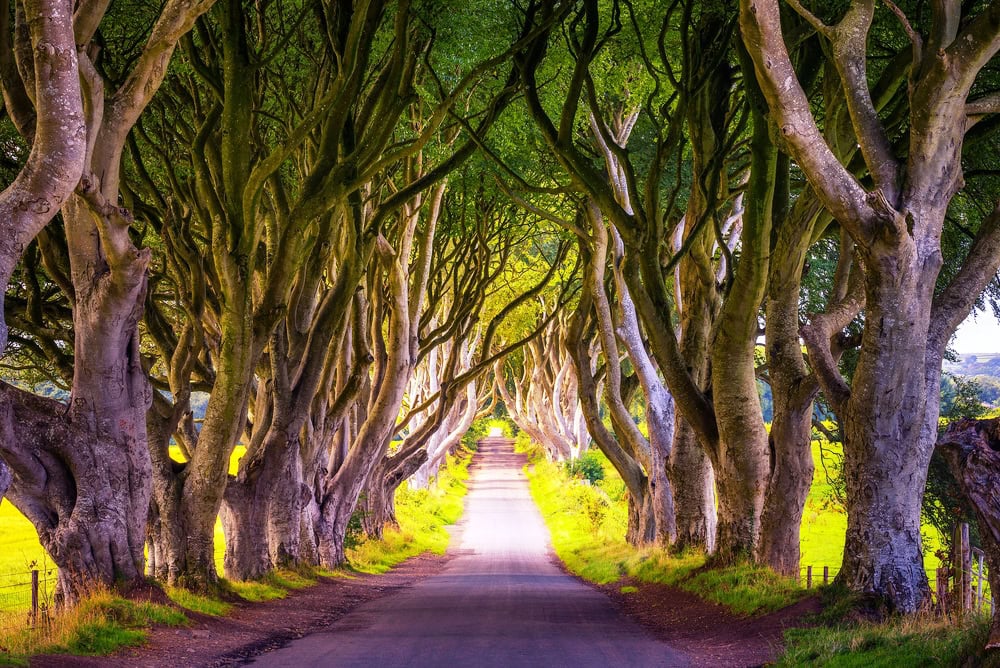
A short detour from the main coast road, the Dark Hedges are a tunnel of ancient beech trees planted by the Stuart family in the 18th century. They are the most photographed location in Northern Ireland and appeared as the King’s Road in Game of Thrones. The road through the hedges is closed to vehicles. Park nearby and walk. Go early morning for the best light and to avoid coach groups. You will notice that the hedges have been hit by storms and time however the felled trees have been carved into beautiful doors which you can view all around Northern Ireland in various pubs and cafes.
22. The Giant’s Causeway
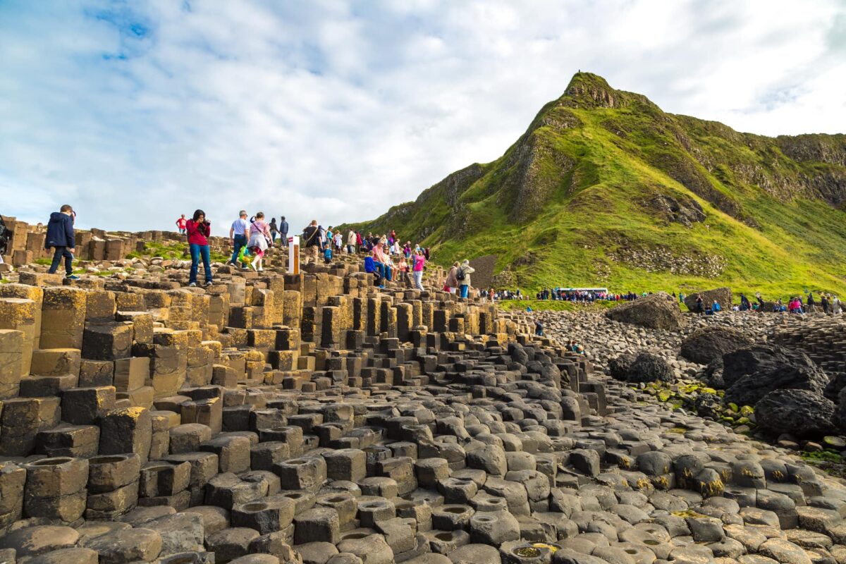
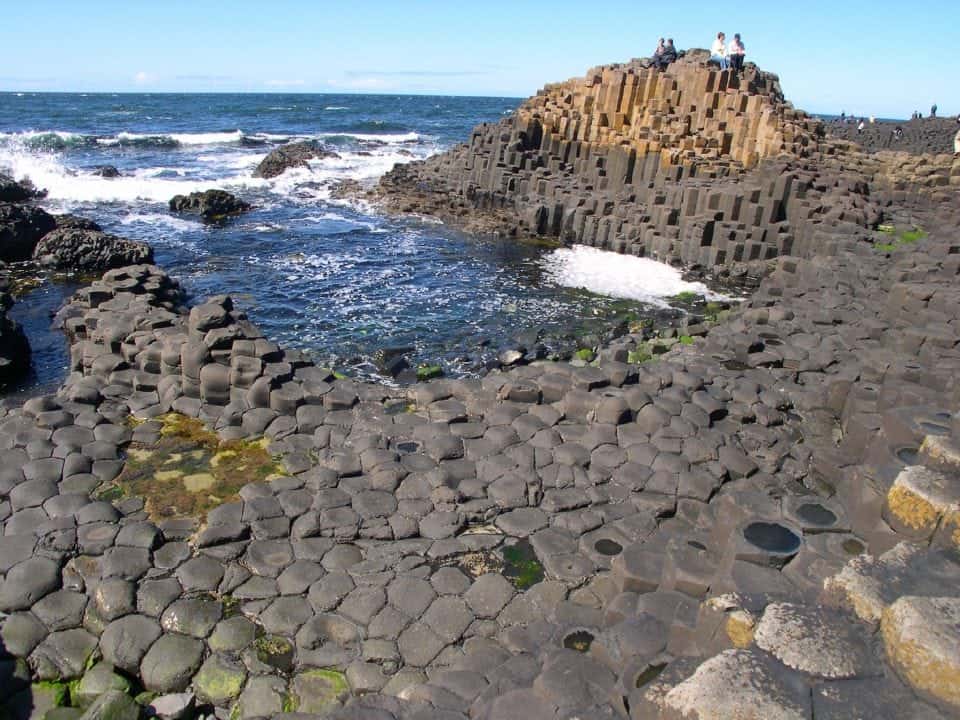
The Giant’s Causeway is Northern Ireland’s only UNESCO World Heritage Site, designated in 1986. Formed around 60 million years ago when volcanic lava flows cooled and contracted into approximately 40,000 interlocking basalt columns, most hexagonal, some with up to eight sides. Named formations include the Chimney Stacks, the Harp, the Organ and the Giant’s Boot. Irish folklore attributes them to the giant Finn MacCool.
Practical note on parking and costs: The Giant’s Causeway itself is free to enter. You do not need to pay the National Trust visitor centre fee or use their car park. The railway car park nearby costs a few pounds. A tunnel to the right of the nearby pub leads directly to the shuttle bus pickup. See my full Giant’s Causeway guide for detailed visiting advice.


23. Dunluce Castle
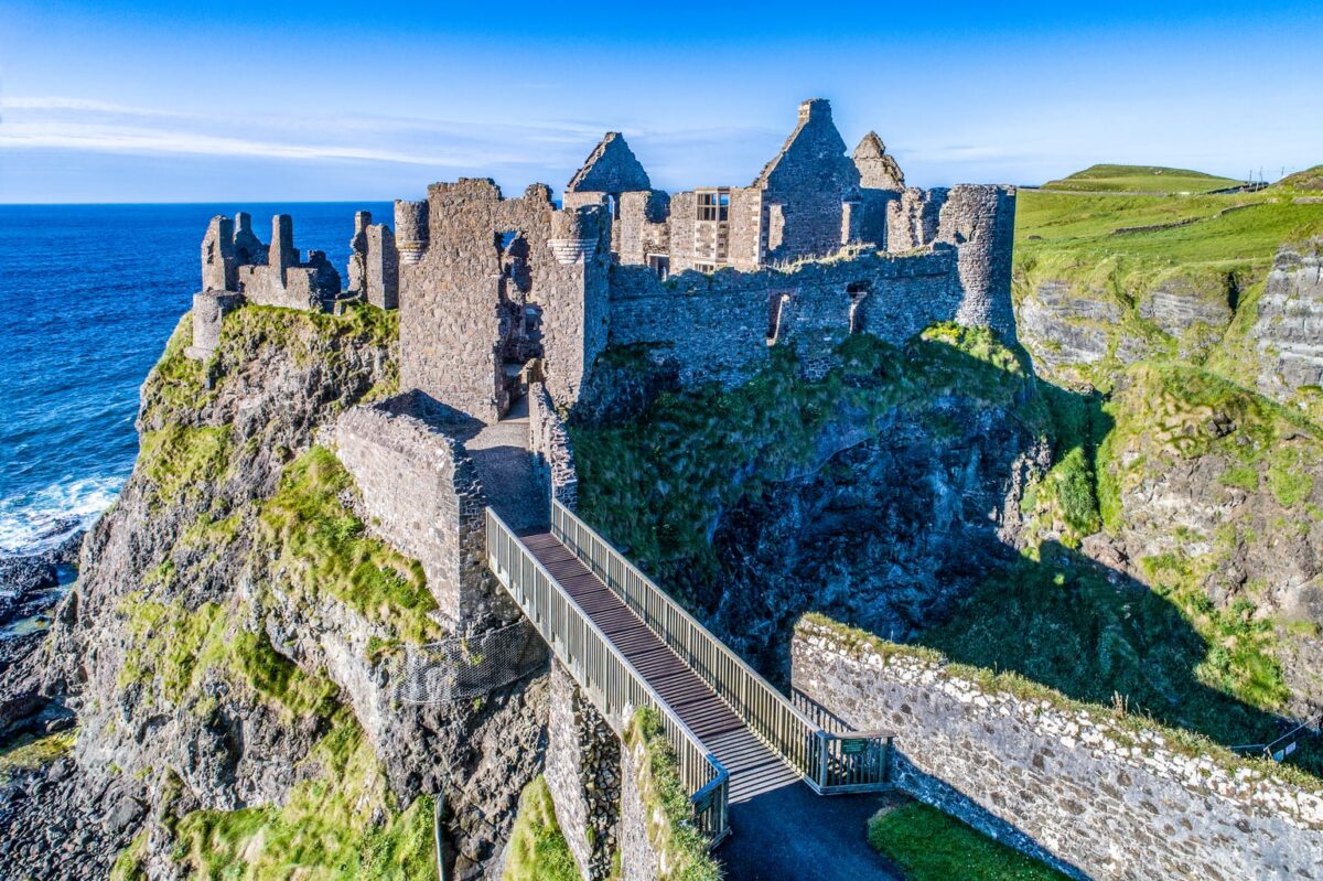
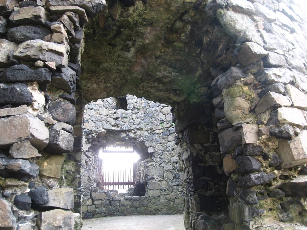
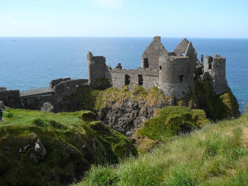
One of the great medieval ruins of Ireland, Dunluce Castle sits on a basalt sea stack jutting from the Antrim cliff edge, connected to the mainland by a bridge over a narrow chasm. The McQuillan family built the original structure around 1500. Recent excavations across the road have uncovered a substantial 17th-century town with a cobbled street, a blacksmith’s forge, a merchant’s house, a courthouse and a dungeon. Coins from the reigns of Elizabeth I and Charles I have been found alongside harp tuning pins and gaming pieces.
24. Portrush
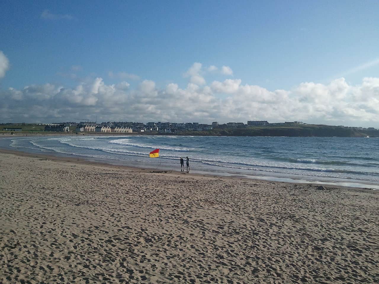
Portrush is the main seaside resort on the North Antrim coast. Three sandy beaches, a thriving surf scene and the Royal Portrush Golf Club, a regular Open Championship host, give it year-round appeal. Curry’s Funpark is the largest fun park in Northern Ireland. Good options for food, pubs and overnight stays.
25. Portstewart
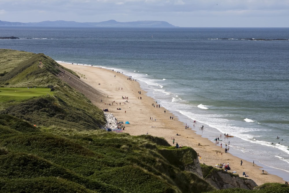
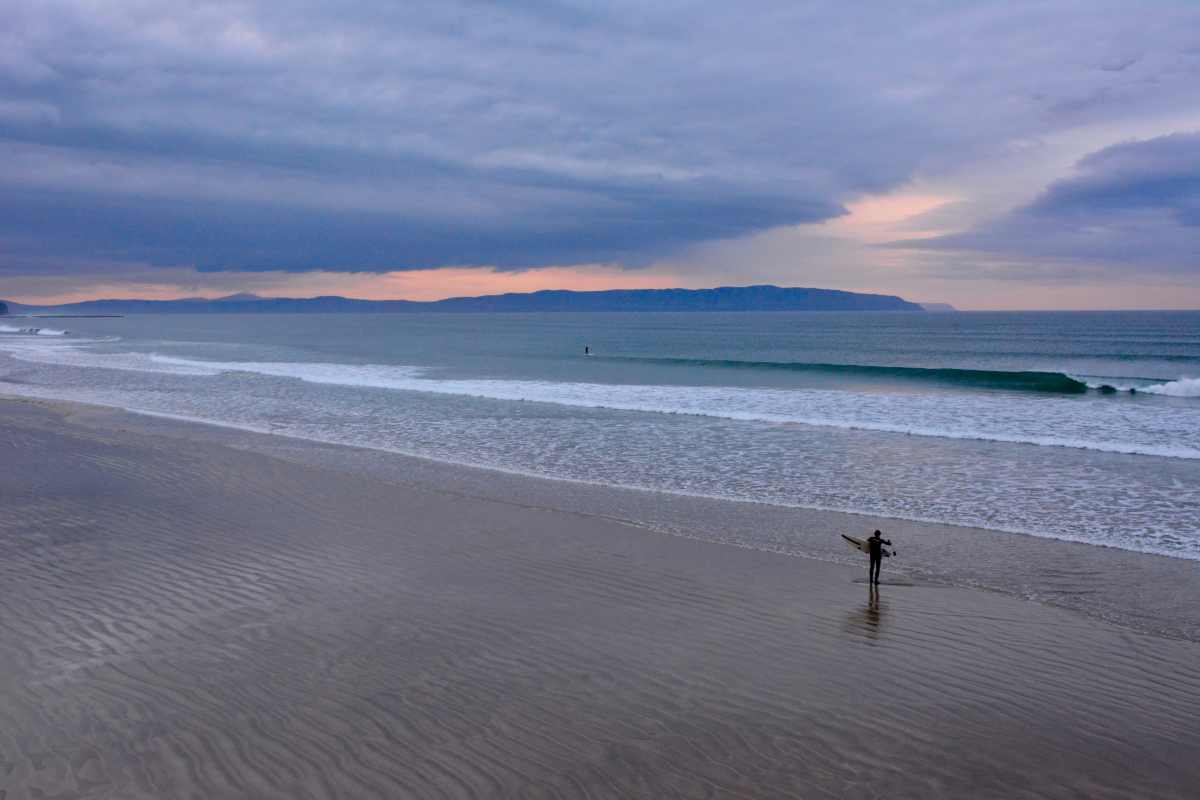
Ten minutes from Portrush, Portstewart is the largest town on the route and the only one in County Derry. Its Blue Flag beach is one of the best surfing beaches in Ireland. The cliff path walk above the strand is well worth an hour of your afternoon.
26. Mussenden Temple and Downhill Demesne
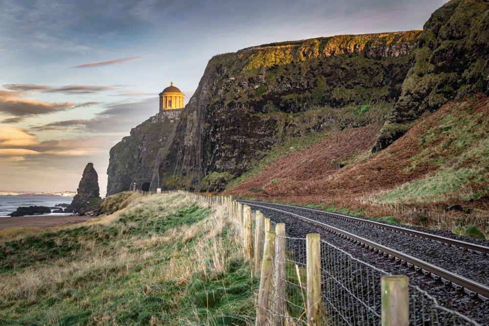
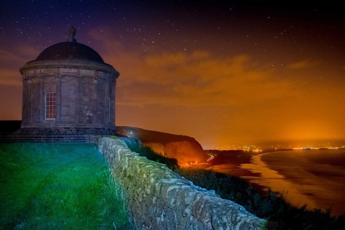
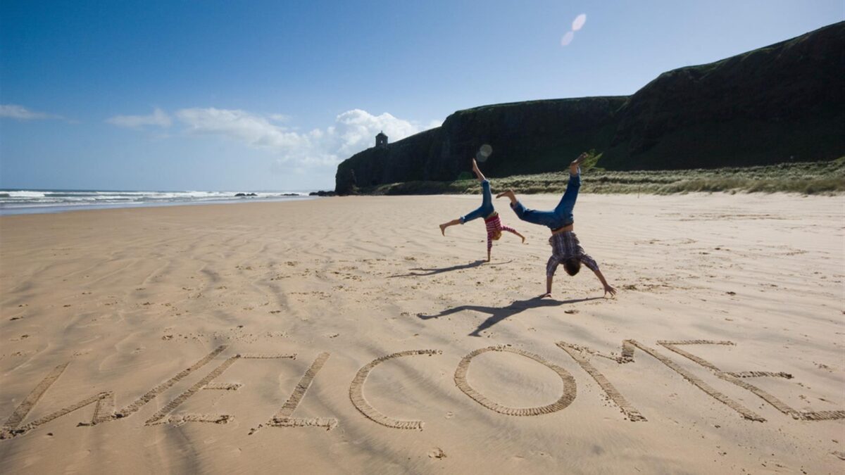
Perched on the edge of a 120-foot cliff above the Atlantic, Mussenden Temple was built in 1785 by the eccentric Bishop of Derry as a replica of the Temple of Vesta in Rome. He used it as a library. Game of Thrones used Downhill Beach below it as the windswept shore of Dragonstone for scenes involving Stannis Baratheon and Melisandre. Standing on the clifftop with the temple behind you and the beach stretching for miles below is one of the great views on the island of Ireland.
27. Benone Beach
Benone is a six-mile Blue Flag beach without a rock or piece of seaweed in sight. The dunes support a wide range of birdlife. The town has interesting 19th-century architecture including a railway station church and a row of tiny houses known as the Twelve Apostles.
28. Binevenagh Mountain
Binevenagh is within an Area of Outstanding Natural Beauty and looks out over Lough Foyle and into Donegal. It is a habitat for peregrine falcons. Game of Thrones filmed the Dothraki grassland scenes here in Season 5.

29. Castlerock
Castlerock sits at the mouth of the River Bann, five miles west of Coleraine. A quiet village with a championship golf course, Blue Flag beaches and Hezlett House, a remarkably intact thatched farmhouse from the 17th century managed by the National Trust.
30. Coleraine
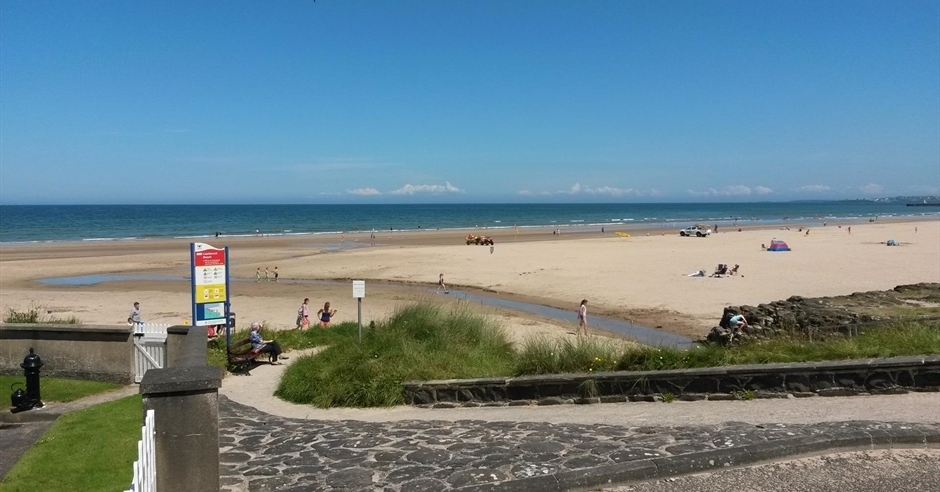
Coleraine is a market town at the head of the River Bann and mainly used as a transit hub on this route. Its university town atmosphere and riverside setting make it worth a coffee stop. It is the departure point for the Causeway Rambler buses.
31. Derry (Londonderry)
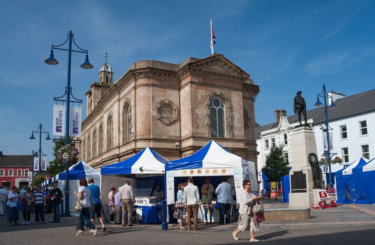
The Causeway Coastal Route ends in Derry, the second largest city in Northern Ireland and the only intact walled city in Ireland. The name comes from the Irish Daire, meaning oak forest. Walk the mile-long city walls, see the Bogside murals documenting the civil rights era and the Troubles, visit the Tower Museum and allow yourself an evening in one of the city’s exceptional pubs.


What to Eat and Drink Along the Causeway Coastal Route
Food on the Causeway Coast has improved enormously in the past decade. The days when your only option between Larne and Ballycastle was a garage sandwich are gone. Here is where to eat well at each section of the route.
The Glens: Carnlough to Ballycastle
The Londonderry Arms in Carnlough serves honest, well-cooked Irish pub food in a room full of genuine atmosphere. If you are in Cushendall, the Lurig Inn is the local’s choice. In Ballycastle, the Wysner’s Deli has been quietly excellent for years: good coffee, proper sandwiches and local baked goods. If you want a sit-down meal in Ballycastle, the Marine Hotel bar is reliable and overlooks the harbour.



Bushmills and the Causeway Section
The Bushmills Inn is the obvious choice for a meal near the Giant’s Causeway and it delivers: hearty Irish cooking, excellent local seafood and one of the best peat fires you will sit beside anywhere. The Nook Pub is great for a good meal and you can park at their lot (ask permission after eating) and then walk behind the Visitor Centre to catch the shuttle down to the stones.The Causeway Hotel beside the Giant’s Causeway visitor centre does solid lunch and is useful if you need to warm up after the cliffs. For something more casual, the Giant’s Causeway Visitor Experience cafe is competent (but expensive) if unremarkable.
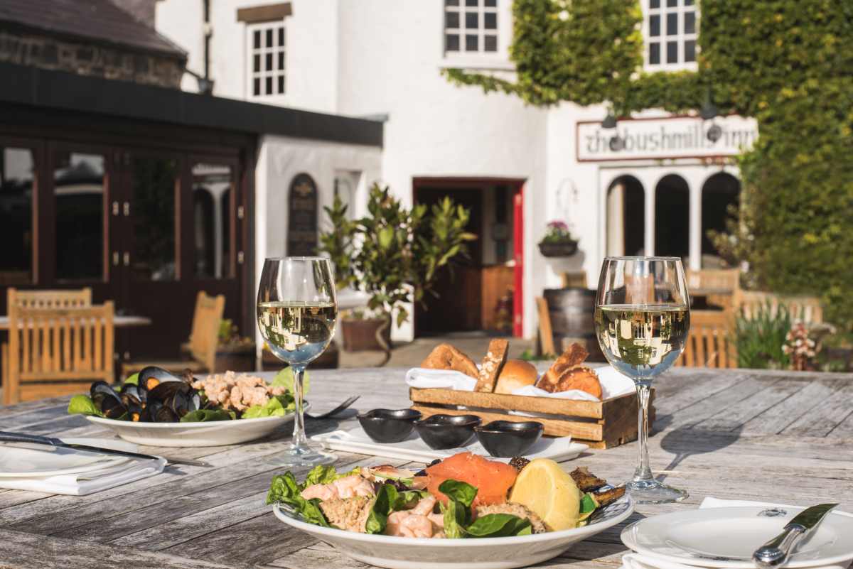
Portrush and Portstewart
Portrush has become a serious food destination. Ramore Wine Bar remains the town’s most popular choice and you will queue for it in summer, but the food is worth the wait. Rick Stein has a restaurant in the town and it is very good, though expensive. For something more casual and local, the harbour area has fish and chip shops that have been feeding people properly for generations. In Portstewart, the Anchor Bar does the best pub lunch on the western end of the route.
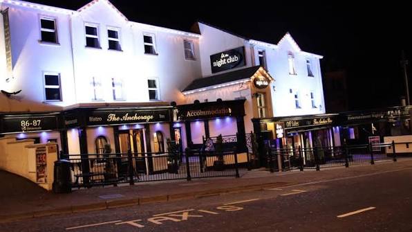
Derry
Derry’s food scene has transformed in the last decade. The Walled City Brewery combines excellent craft beer with serious kitchen cooking. Browns Restaurant in Bond Street is a local institution and worth booking in advance. For a casual lunch while walking the walls, The Craft Village has several good independent food stops. See my full what to eat in Northern Ireland guide for more recommendations across the route.


The Nine Glens of Antrim: What You Need to Know
The Nine Glens of Antrim form the dramatic inland backdrop to the coast road and are an Area of Outstanding Natural Beauty in their own right. Each glen has its own character, its own waterfall and its own stretch of forest. Driving through them gives you a sense of the scale and age of this landscape that the coast alone cannot.

The nine glens in order from south to north are: Glenarm, Glencloy, Glenariff, Glenballyemon, Glenaan, Glencorp, Glendun, Glenshesk and Glentaisie. Glenariff is the most dramatic and the most visited, with three waterfalls and excellent forest trails. Glendun, above Cushendun, has a stone viaduct and walks into some of the most remote terrain on the coast. Glenarm, at the southern end, is the gentlest and most accessible.
For walkers, the Ulster Way long-distance trail threads through all nine glens. Day sections of the trail are well-marked and you do not need to do the whole route to get a sense of what this landscape offers. The Glenariff Forest Park trails range from 45-minute loops to half-day hikes.
The Causeway Coast and Game of Thrones
The Antrim coast and its surroundings served as one of the primary filming locations for the HBO series Game of Thrones. Locations including the Dark Hedges, Ballintoy Harbour, Cushendun Caves, Binevenagh Mountain and Downhill Strand all appeared in the show, and small plaques at each site identify which scene was filmed there. See my guides to the Game of Thrones Tapestry in Belfast and the 10 Game of Thrones Doors in Northern Ireland for more on the filming legacy along the coast.


Where to Stay Along the Causeway Coastal Route
These hotels and properties cover the length of the route from east to west. Booking ahead is essential in summer.
The Bushmills Inn, Bushmills: Award-winning boutique hotel in the heart of Bushmills, close to the Giant’s Causeway. Excellent bar and locally sourced restaurant. One of the best places to stay on the entire route.
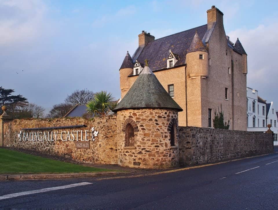
Ballygally Castle Hotel, Ballygally: A 17th-century castle hotel on the coast near Larne with sea views, fine dining and one of the original Game of Thrones doors.
Roe Park Resort, Limavady: Tranquil parkland resort near the western end of the route with a golf course, spa and multiple dining options.
The Galgorm Spa and Golf Resort, Ballymena: World-class spa and 18-hole championship course set in a stunning private estate. One of the finest resort hotels in Ireland.

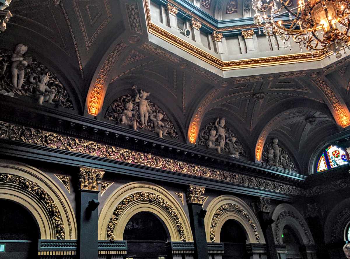
The Merchant Hotel, Belfast: Five-star luxury in Belfast’s Cathedral Quarter for those starting or ending the route with a city night.
The Barbican at Glenarm Castle: The gatehouse B&B at Glenarm Castle is one of Northern Ireland’s most romantic overnight stays. Ideal for the southern glens section of the route.
More of My Northern Ireland Guides
- 101 Landmarks in Northern Ireland
- Planning a trip to Ireland: Everything you need to know
- Accessible Giant’s Causeway
My thoughts on the Causeway Coastal Route
The Causeway Coastal Route is not just a drive. It is a lesson in geology, Irish folklore, Scottish-Irish history, medieval architecture and the stubborn, extraordinary beauty of this corner of Ireland. I have made this journey dozens of times and I have never once finished it wanting less of it.
Take your time. Stop at Kinbane Castle even though it is unmarked on most tourist maps. Walk to Fair Head even if the weather looks uncertain. Have a pint in Ballycastle before catching the ferry to Rathlin. Eat in Carnlough. Talk to people. The Causeway Coastal Route rewards the unhurried traveller above all others.
Do you have a favourite spot on the Causeway Coast? I’d love to hear about it. And if you are planning a wider trip to Ireland, my Northern Ireland Travel Tips Guide has everything you need before you go.
Frequently Asked Questions: Causeway Coastal Route Northern Ireland
What is the Causeway Coastal Route?
The Causeway Coastal Route is a 120-mile scenic driving route along the northern coast of Ireland, running from Belfast in the east to Derry (Londonderry) in the west. It passes through the nine glens of Antrim, past medieval castles, the UNESCO-listed Giant’s Causeway, sea cliffs and seabird colonies. It is widely considered one of the world’s great road journeys.
How long does it take to drive the Causeway Coastal Route?
The drive from Belfast to Derry without stopping takes around two to three hours. To see the route properly with visits to the main attractions, allow a minimum of three days. Five days lets you explore the glens, walk the Gobbins cliff path, take the Rathlin Island ferry and spend a full day in Derry.
Can I do the Causeway Coastal Route without a car?
Between May and September, the Antrim Coaster (service 252) runs from Belfast to Coleraine twice daily via the main coastal towns. The Causeway Rambler (service 402) runs between Carrick-a-Rede and Coleraine seven times daily from June to September, covering Dunluce Castle, the Giant’s Causeway, Bushmills and Carrick-a-Rede. A car gives you far more flexibility and access to lesser-visited stops like Kinbane Castle, Fair Head and the Gobbins.
What are the must-see stops on the Causeway Coastal Route?
The Giant’s Causeway (UNESCO World Heritage Site), Dunluce Castle, Carrick-a-Rede Rope Bridge, the Gobbins cliff path, Fair Head, Kinbane Castle, Rathlin Island, Mussenden Temple, the Dark Hedges and the city of Derry are all essential. The nine glens of Antrim, particularly Glenariff, reward those who take the time to walk into them.
Is the Causeway Coastal Route accessible for people with limited mobility?
Some sections are accessible and others are not. The Giant’s Causeway has a shuttle bus and a paved path. Dunluce Castle, Mussenden Temple and several beaches are manageable. The Gobbins cliff path and Carrick-a-Rede Rope Bridge are not suitable for those with limited mobility. Read my Accessible Giant’s Causeway guide for detailed information.

What is the best time of year to visit the Causeway Coastal Route?
Late May and June give you the best combination of good weather, long daylight hours, manageable crowds and open attractions. September is excellent for quieter roads and autumn colour. July and August are busiest: arrive at major sites before 9am or after 4pm to avoid peak crowds. Winter visits are dramatic and quiet but some attractions close for the season.
What are the interlocking basalt columns at the Giant’s Causeway?
The interlocking basalt columns of the Giant’s Causeway were formed approximately 60 million years ago when volcanic lava flows cooled rapidly and contracted, fracturing into geometric columns. Most are hexagonal, some have up to eight sides. There are approximately 40,000 columns in total, the tallest reaching around 12 metres. Irish folklore attributes them to the giant Finn MacCool, who built them to reach his Scottish rival Benandonner. The site has been a UNESCO World Heritage Site since 1986.

How much does the Causeway Coastal Route cost?
Entry to the Giant’s Causeway itself is free. Main paid attractions include the Gobbins cliff path (£21.50 for adults), Carrick-a-Rede Rope Bridge (£15 per adult), the Rathlin Island ferry (£8 each way per adult), Dunluce Castle (around £9), and Bushmills Distillery tours (around £8). Most beaches, viewpoints, the Dark Hedges, Fair Head, Kinbane Castle and Torr Head are free. Budget roughly £50 to £80 per adult for paid attractions over a three-day itinerary, plus accommodation and food.
Is the Gobbins cliff path worth it?
Yes, unambiguously. The Gobbins cliff path on the eastern edge of Islandmagee is one of the most dramatic coastal walks in Ireland or Britain. The guided experience takes around two and a half hours and includes tubular bridges suspended over open water, caves and rock-cut steps. It must be booked in advance and is not suitable for those with limited mobility or a fear of heights. Check the website before going as it has experienced storm closures. When it is open, it is absolutely worth the planning effort.
Where is Kinbane Castle and how do I get there?
Kinbane Castle sits on a narrow limestone headland on the Antrim coast, roughly halfway between Ballycastle and Carrick-a-Rede. It was built in 1547 by Colla Dubh MacDonnell and controlled the sea crossing between Antrim and Scotland. It is freely accessible, rarely busy and one of the most atmospherically situated ruins on the entire coast. Turn off the B15 coast road at the Kinbane Head sign and park at the small car park at the top of the steps down to the headland.
Are there guided tours of the Causeway Coastal Route?
Multiple operators run day trips from Belfast covering the main highlights, typically including the Giant’s Causeway, Carrick-a-Rede, Dunluce Castle and the Dark Hedges. A guided tour is a good option if you only have one day or prefer not to drive. However, a tour cannot cover the full 120-mile route and smaller stops like Kinbane Castle, Fair Head or the Gobbins will not be included. See the Giants Causeway, Rope Bridge and Dark Hedges Tour from Belfast for available options.
What is the difference between the Causeway Coastal Route and the Antrim Coast Road?
The Antrim Coast Road (the A2) is the physical road that runs along the coastline and predates the tourist designation. The Causeway Coastal Route is the branded scenic driving route that uses the A2 as its spine but incorporates inland detours, loop roads and additional stops that the A2 alone would not take you to. When people refer to driving the Antrim coast, they generally mean the same journey under a different name.
Travelling with limited mobility? Our Accessible Northern Ireland Guide covers wheelchair-friendly attractions, accessible transport, and first-hand mobility tips across Belfast, the Causeway Coast, and Derry.
Planning a trip to Northern Ireland? Our complete Northern Ireland Travel Guide covers Belfast, the Causeway Coastal Route, county guides, hidden gems, itineraries, food, and local tips from a Donegal native. Explore more of the region with guides to England, Scotland, Wales or the full United Kingdom Travel Guide.
Join 7,500 Ireland travellers in my Ireland Uncovered Facebook Group and 1,897 on my XYUandBEYOND PAGE
If you’re planning more trips like this, explore my full Story Travel guide to film locations, literary sites and historic places across Ireland and the UK.
Driving in Ireland articles
How to visit Glenveagh without a car
Travelling in Ireland without a car
Start Planning Your Trip
👉 Public Transportation in Ireland
👉 Hidden Gems in Ireland – 32 Secret places to visit
👉 Answering all your travel questions about Ireland
H, I am planning a trip in April with a friend. We will be picking up a car in Dublin then headed to Northern Ireland. So far I have us staying in Larnes then on to Portrush and then on to Killybegs Could you recommend a area between Portrush and Killybegs along the coast
Hi, Janine I would recommend heading to Derry and spending a night there it is an amazing city with great restaurants, lots of history and sites to see and easy to walk around and enjoy. The entire drive from Portrush to Killybegs is only around 2.5 hours. I can also highly recommend Donegal Town as a stop in the town there are sites including the castle, famine graveyard and ruined abbey, the town sits on Donegal Bay and has some brilliant pubs with live music and to be honest much more interesting than Killybegs – although Killybegs has always been a favourite of mine thanks to some amazing seafood places and of course it’s on the way to Slieve League.